Cannot See
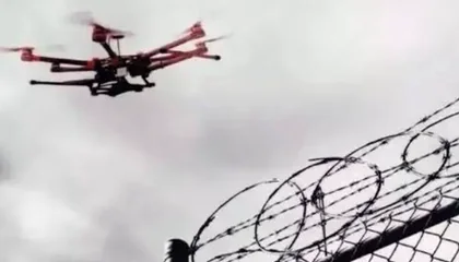
Where is it flying? Who is operating it? Low-altitude targets are hard to perceive across complex sites.
- Urban blind zones
- Weak small-target signals
- Incomplete sensing coverage

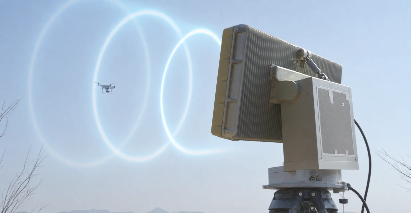
N-TET plans C-UAS and counter-UAS systems, anti drone systems, and drone detection systems for airports, refineries, power plants, ports, venues, and large perimeters, combining RF drone detection, radar, Remote ID monitoring, EO verification, and site alert workflows.
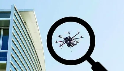
Fast-growing UAV activity and slower management tools create low-altitude blind zones. Site teams first need to see targets, identify events, and keep the handling process under control.
Where is it flying? Who is operating it? Low-altitude targets are hard to perceive across complex sites.
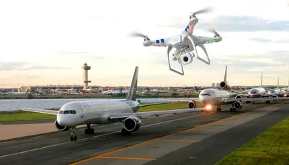
Authorized flights, unknown targets, and risky activity are difficult to separate in real time.
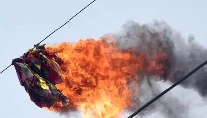
After detection, single-device handling and manual workflows are often not timely, precise, or traceable.

Build an end-to-end closed loop around multi-source sensing, intelligent judgement, and coordinated on-site handling.
Use multi-source sensing to make low-altitude activity visible across the protected site.
Combine tracks, features, identity clues, and risk levels so operators can judge the event with context.
Connect approved response options, field teams, and platform records into a coordinated handling loop.
Compare C-UAS, counter-UAS, counter drone, and anti drone system options across fixed-site, vehicle-mounted, portable, and handheld RF detection, radar, Remote ID monitoring, EO tracking, and command-platform integration.
Build the first layer with RF detection, low-altitude radar, EO tracking, and Remote ID recognition so different target types can be noticed and reviewed.
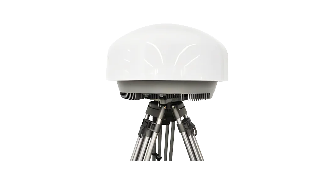
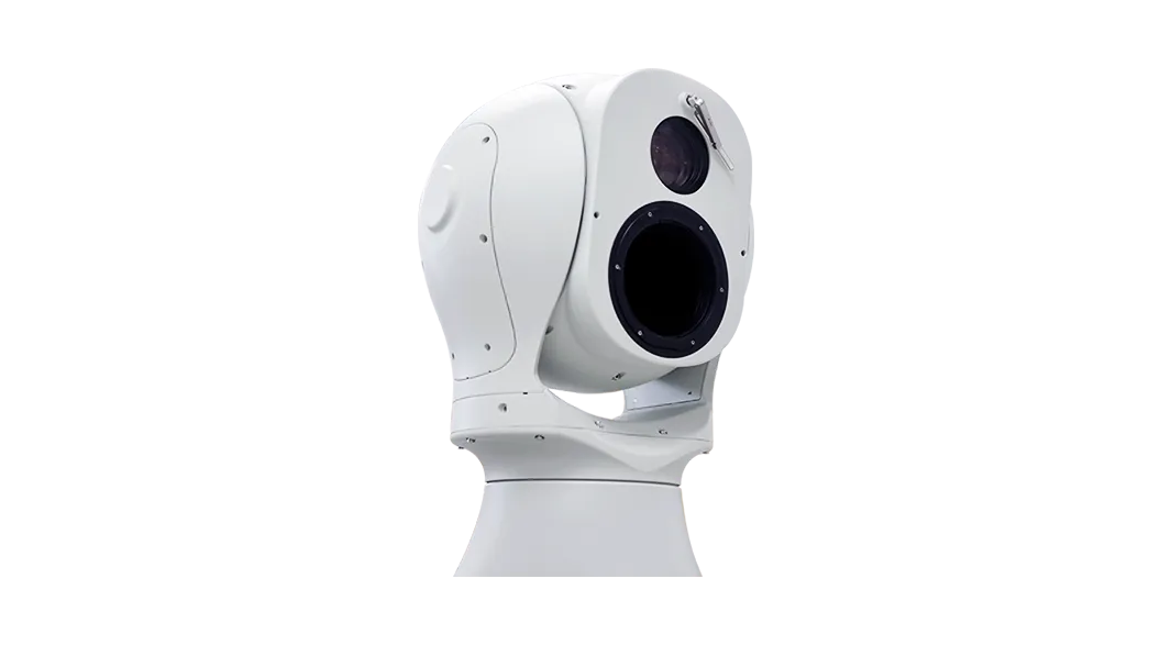
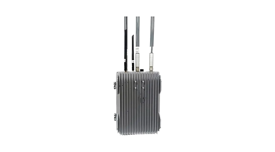
Use fixed, navigation-signal, and portable response equipment according to site rules, deployment time, and operator approval workflow.
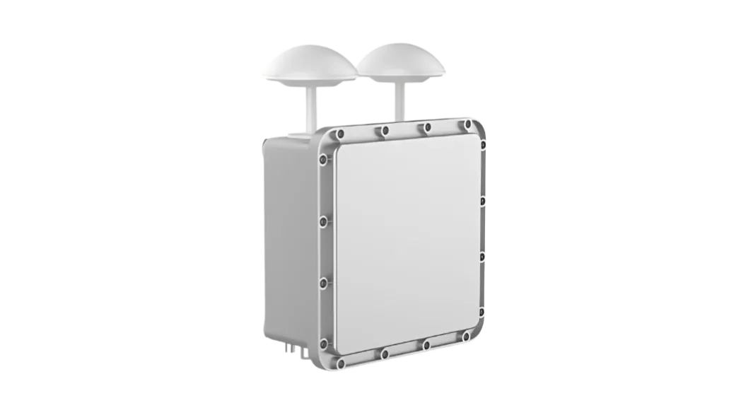
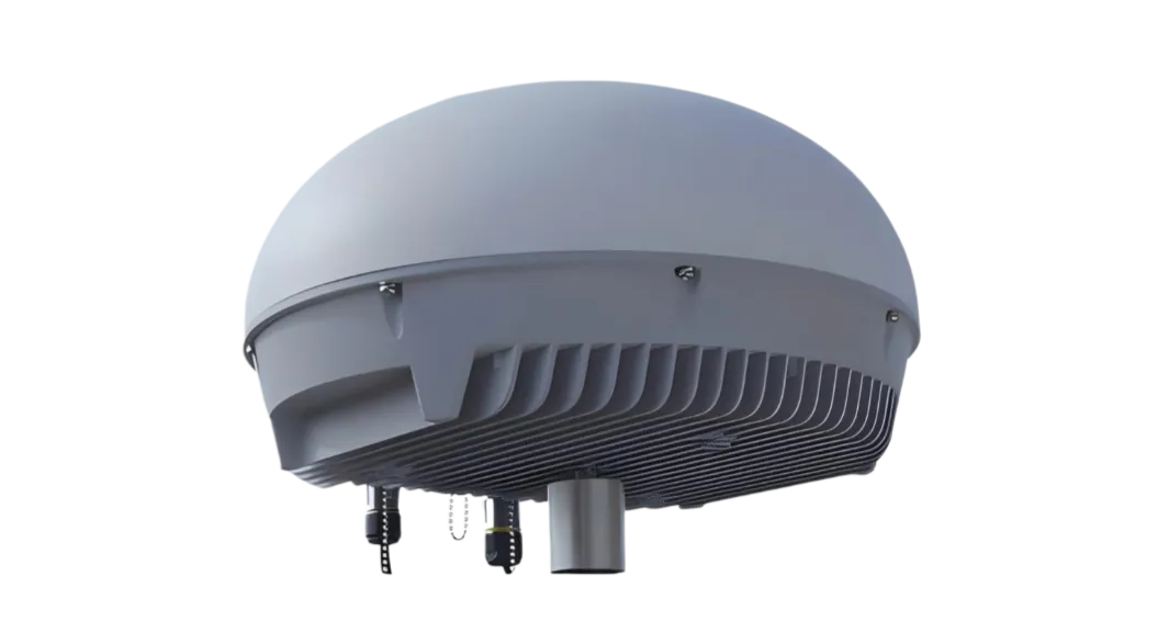
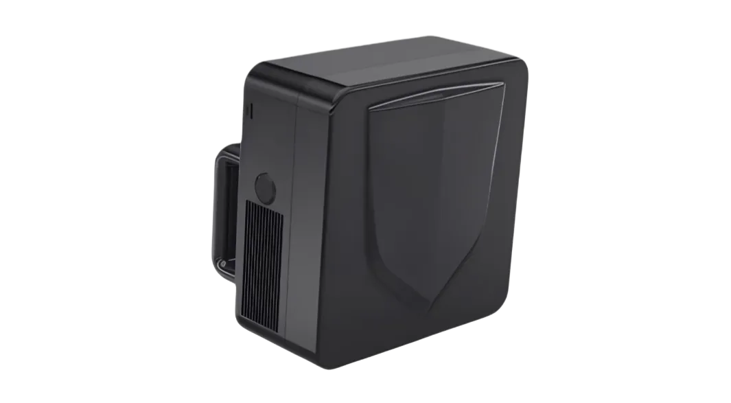
Use integrated portable, fixed-site, and vehicle-mobile units when the site needs sensing, operator confirmation, and approved response in one deployable system.
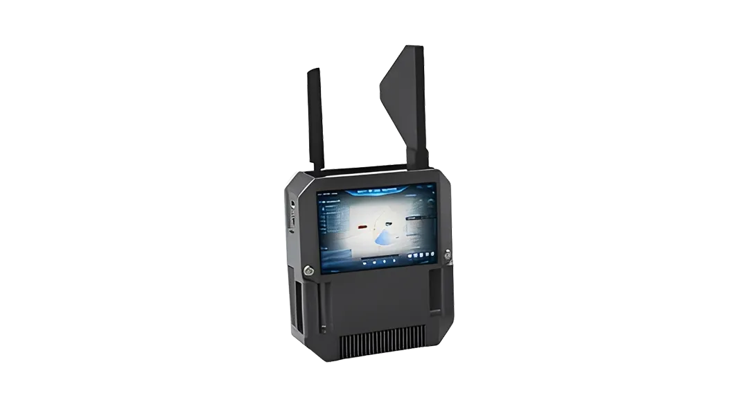
Single-operator sensing, positioning, tracking, and response support.
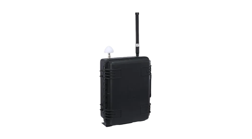
Hand-carried unit for visual operation and rapid approved response.
Integrated high-performance site equipment for key-area coverage.
Full-band sensing with low-disruption guidance workflows.
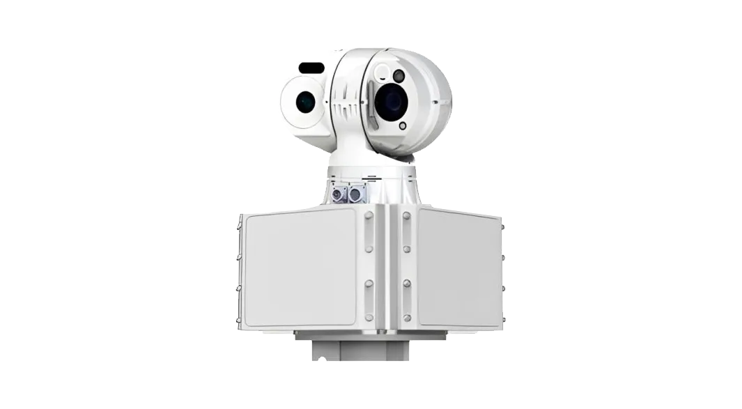
Radar and optical fusion for target search and visual confirmation.
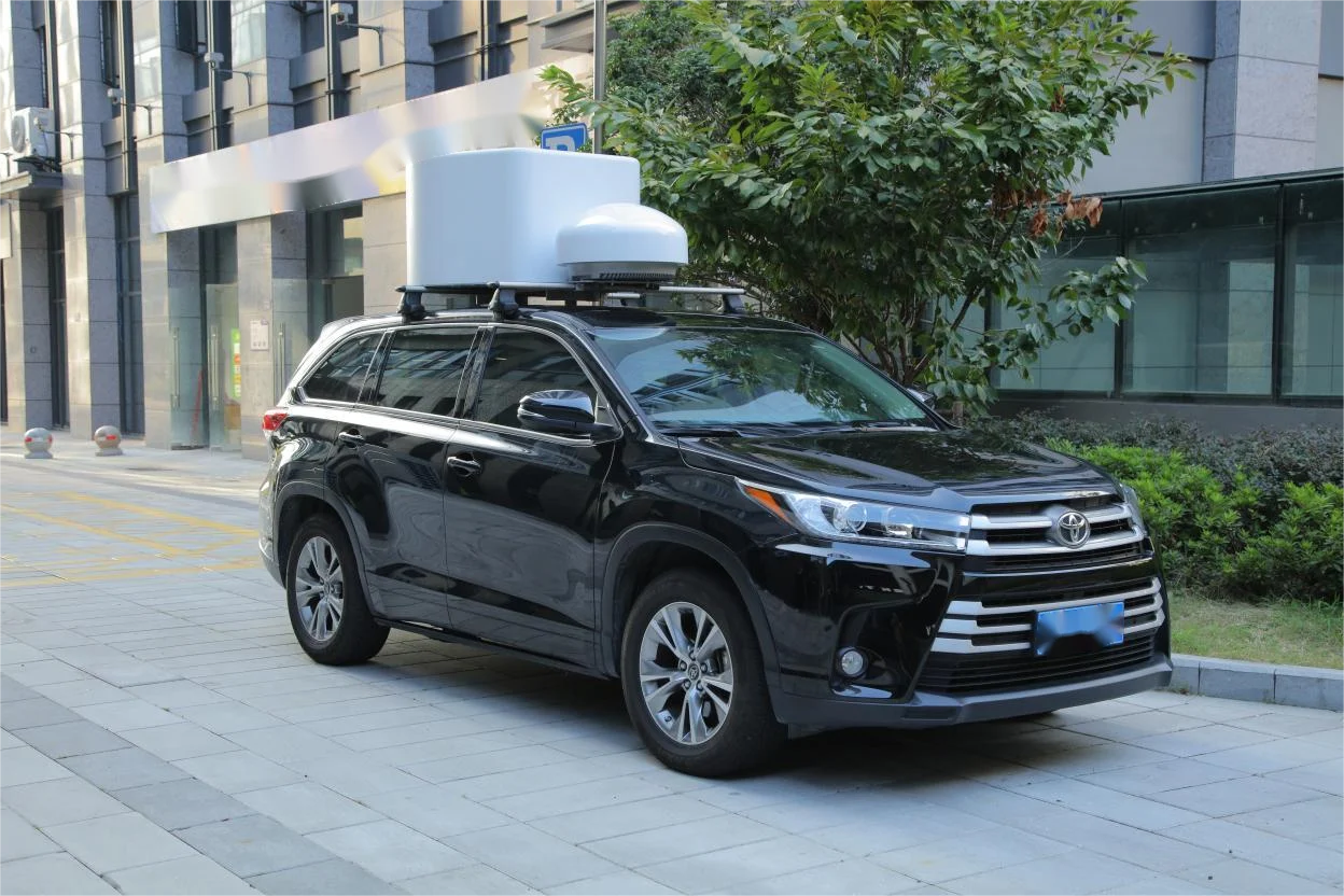
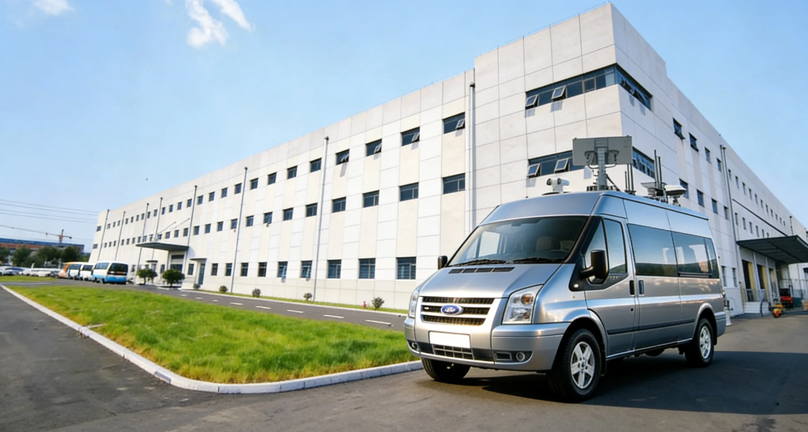
Vehicle-mounted sensing and response equipment for mobile patrol and temporary coverage.
Connect radar, RF, EO, Remote ID, operator review, response linkage, and event records on one platform.
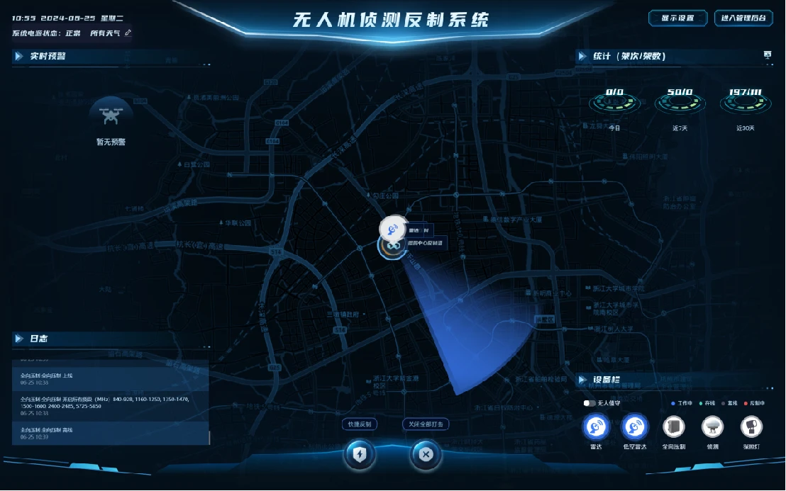
Use these site scenarios to match sensing coverage, review workflow, and approved response options for critical low-altitude security operations.

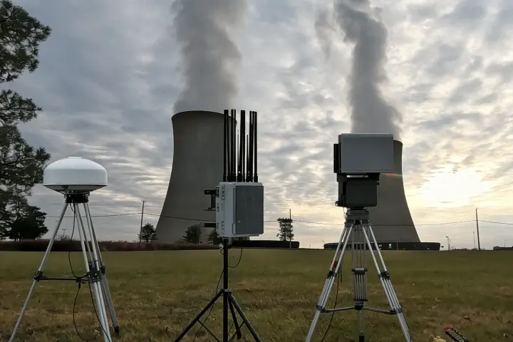
Coverage sites: nuclear power plants, substations, energy storage sites, oil and gas pipelines, chemical parks
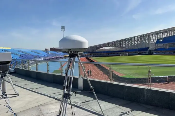
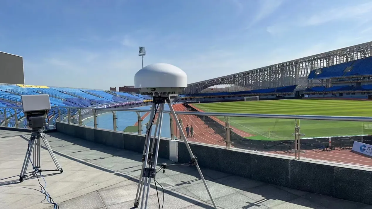
Coverage sites: multi-city games, stadiums, media centers, transport hubs, and major public events
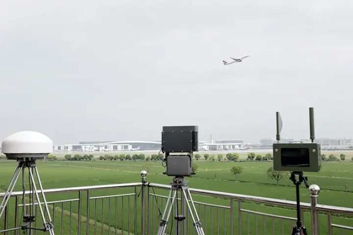
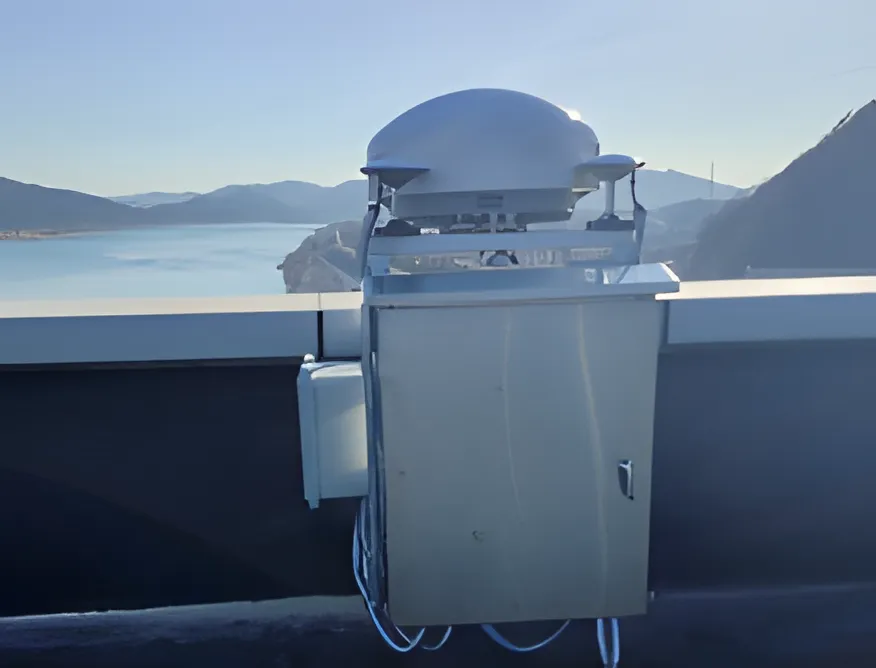
Application rollout: routine airport airspace security for multiple airport sites