Individual mobile patrol
Use the PL280H for lightweight local RF alerts while one operator is moving.

Compare mobile and fixed-site Drone Locator configurations using RF direction finding, radar tracking, EO/IR confirmation and command-platform integration.
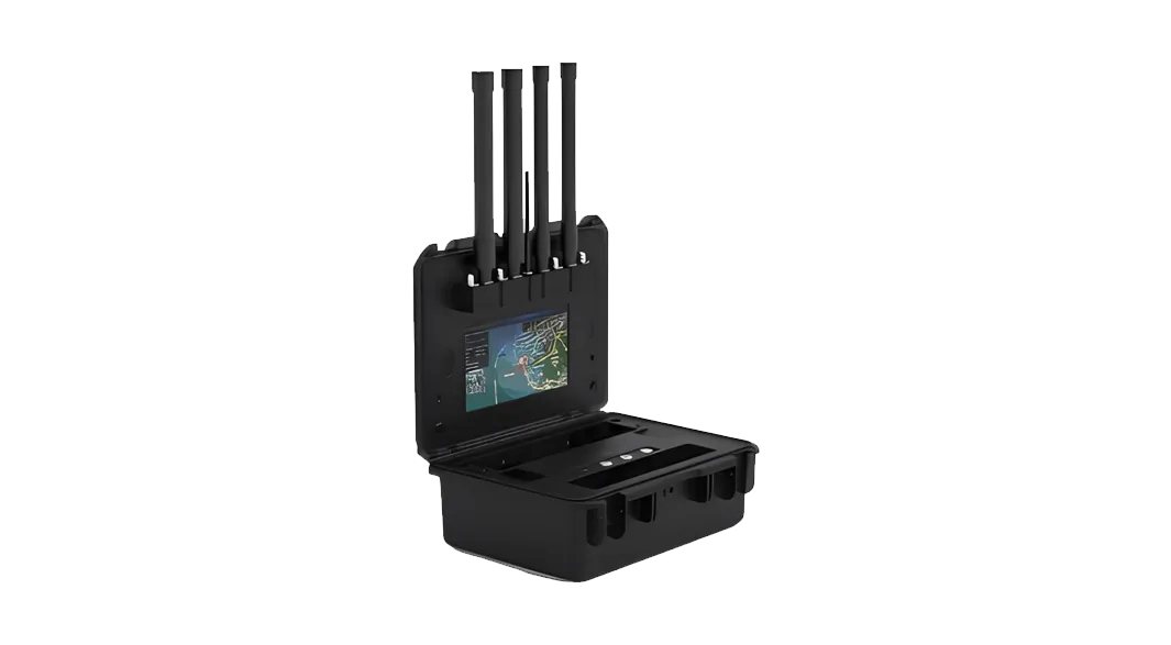
A Drone Locator project can begin with mobile equipment or a fixed sensor layout. The PL280H gives an individual patrol user lightweight RF alerts, while the Portable RF Identification System adds a larger display, protocol identification, direction finding and positioning support for a temporary post. Fixed sites combine stationary RF detection with radar range, bearing, altitude and continuous track data, then cue EO/IR for visual confirmation. The command platform correlates these sources by time and map position and maintains a unified target track. After confirmation, the track can be linked to a Directional RF Jammer for selected sectors or an Omni-directional RF Jammer for 360-degree fixed-site coverage. Buildings, terrain, RF noise, radar clutter, line of sight, mounting geometry and sensor interfaces all affect the final configuration.
Use the PL280H for lightweight local RF alerts while one operator is moving.
Use the portable RF case for identification, direction and position review with a larger display.
Combine stationary RF, radar tracks and EO/IR confirmation around planned sectors.
Link the confirmed target track to the configured directional or omni-directional RF jammer.
Start with the mobile location format, add fixed RF, radar and EO/IR where continuous coverage is required, then define the command and countermeasure interfaces.
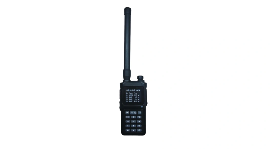
A lightweight passive RF detector for individual patrol, local alerts and rapid movement between sectors.
A hand-carried RF system with integrated display for identification, direction and positioning support at temporary posts.
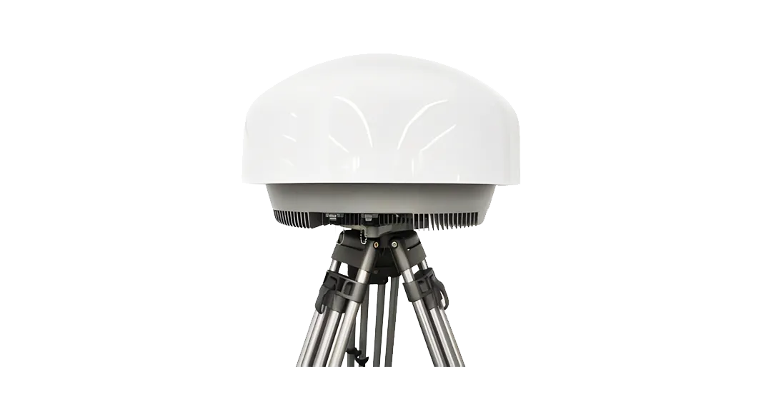
Fixed passive RF sensing for supported identification, direction finding and mapped event review.
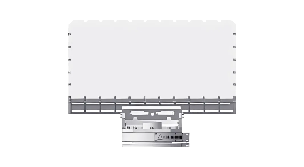
Provides movement, range, bearing and track data for non-cooperative target positioning.
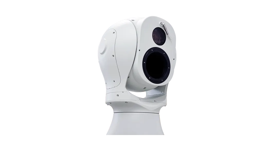
Adds visible and thermal imagery for operator confirmation and target tracking.
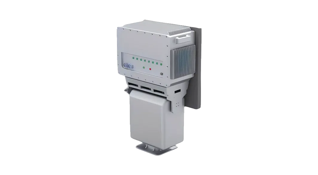
A directional RF suppression option for a confirmed target in a reviewed sector.
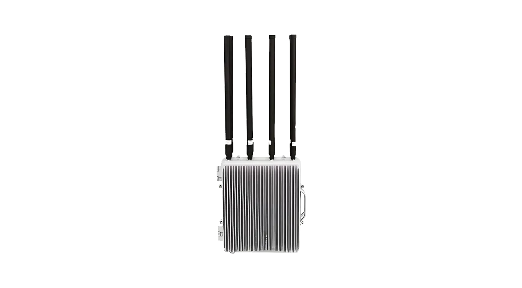
An omni-directional RF suppression option for 360-degree fixed-site coverage.
Compare operator mobility, target location data, confirmation method and system interfaces—not range alone.
| Selection factor | Handheld RF | Portable RF case | Fixed RF + radar | EO / IR | RF jammer |
|---|---|---|---|---|---|
| Best role | Individual mobile alerting | Temporary identification and location post | Continuous bearing and track coverage | Visual confirmation | RF countermeasure |
| Primary output | Local RF alert | RF identity, direction and position clues | RF clues plus radar range, bearing and track | Visible and thermal imagery | Directional or area RF suppression |
| Deployment | Handheld patrol | Hand-carried field case | Installed site sensors | Fixed cueing system | Fixed directional or omni unit |
| Planning input | Local RF conditions and target signal | RF environment, setup position and endurance | Clutter, terrain, mounting and target characteristics | Line of sight, weather and lighting | Coverage geometry, EMC and nearby communications |
The locator establishes where the target is; the command platform then confirms and links the track to the configured response equipment.
A sensor creates an observation with time, source and available bearing, position or track data.
The platform correlates handheld or fixed RF clues, radar tracks, map context and permitted-flight information.
EO/IR cueing and operator review confirm the object, direction and current status where conditions allow.
The confirmed location is linked to the configured directional or omni-directional RF jammer, while the platform records commands, device status and outcomes.
Define escalation contacts, decision authority, site procedures and record-retention requirements before commissioning.
The required location evidence changes with the protected boundary and command workflow.
A handheld patrol detector and portable RF case support moving teams and temporary positions before handing confirmed data to the responsible operator.

A fixed layout follows activity around production areas and key perimeter routes while preserving a traceable event history.
No. This is a protected-site workflow using mobile RF equipment or fixed RF, radar and EO/IR layers to locate and confirm activity.
The PL280H is a lightweight handheld RF detector for patrol users. The Portable RF Identification System is a hand-carried case with a larger display and identification, direction and positioning support.
It can provide a bearing or supported position clue, but accuracy depends on the system design, signal conditions, antenna geometry, obstructions and local RF environment.
Radar contributes range, bearing and track continuity even when a recognizable control signal or cooperative identity broadcast is unavailable.
A confirmed target track can be linked to a Directional RF Jammer for selected sectors or an Omni-directional RF Jammer for 360-degree fixed-site coverage.
Provide the patrol method or fixed boundary, priority sectors, mounting points, terrain, normal flight activity, network limits, response mode and command-platform interfaces.
Tell us the equipment, application or site you are reviewing. Our team can provide product information, technical documents, pricing and configuration support.
Tell us the equipment, application or site you are reviewing. Our team can provide product information, technical documents, pricing and configuration support.