Airports & transport hubs
Review approach sectors, boundary zones, permitted activity and command-room handoff.

Combine RF detection, low-altitude radar, Remote ID and EO/IR tracking in one site-specific early-warning, identification and command workflow.
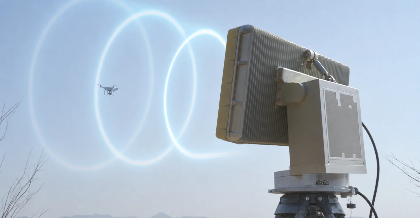
A professional drone detection system is built from complementary sensors rather than a single universal detector. RF equipment provides spectrum awareness, protocol identification and direction finding for supported links. Low-altitude radar adds range, bearing, altitude, speed and continuous tracks, including targets that do not transmit a recognizable control signal. Remote ID receivers identify compatible cooperative aircraft, while EO/IR systems provide visible and thermal confirmation. The command platform correlates these inputs into one target record with time, position, track, identity clues, imagery and alarm status, then links the confirmed event to the configured response equipment. Detection performance depends on target characteristics, terrain, buildings, RF conditions, mounting height and sensor geometry, so the final configuration should be based on a site survey and coverage design.
Review approach sectors, boundary zones, permitted activity and command-room handoff.
Combine perimeter awareness with operator review around production and logistics areas.
Support time-bound deployment, patrol coordination and a traceable alert workflow.
Correlate cooperative identity, RF, radar and visual evidence in one operating picture.
Select each detection layer according to the evidence operators need. RF sensing, radar, Remote ID and EO/IR provide different types of information; they are complementary, not interchangeable.
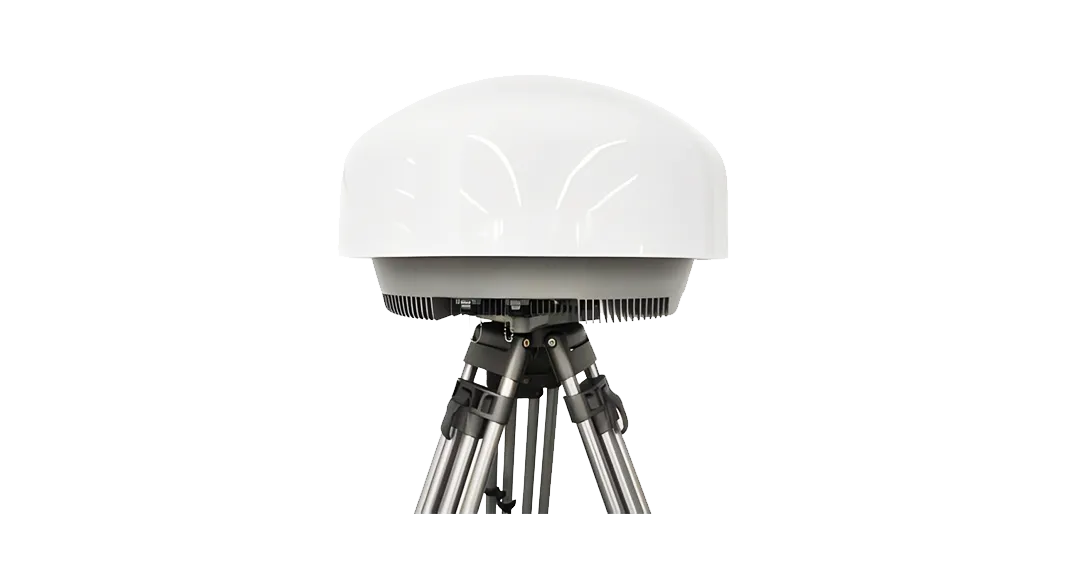
A fixed-site passive RF layer for signal awareness, identification support, direction finding and event handoff.
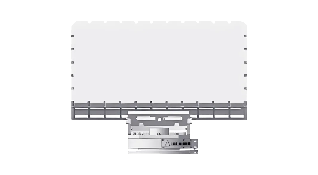
A movement-tracking layer for early warning, range and bearing, trajectory review and multi-sensor correlation.
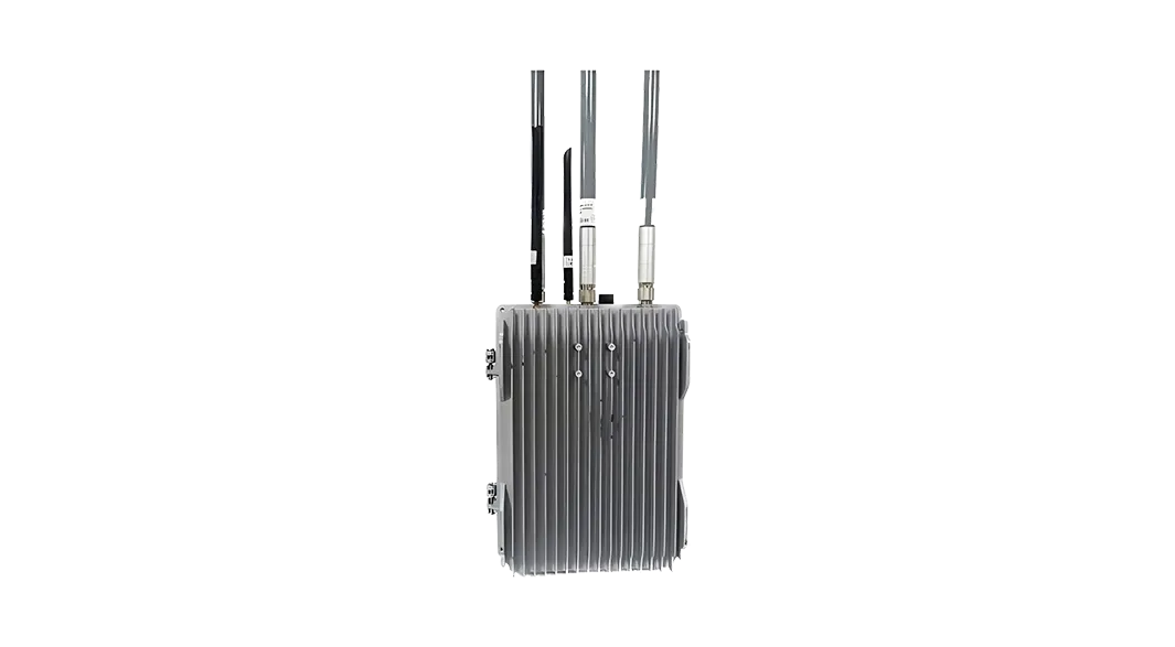
A cooperative identity layer for compatible Remote ID broadcasts and permitted-flight review.
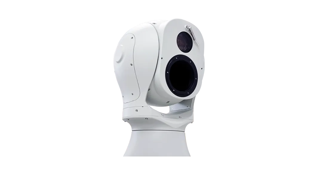
Visible-light and thermal imaging for operator confirmation, target tracking and video evidence.
The strongest configuration is the one that closes evidence gaps without hiding each sensor's limits.
| Selection factor | RF sensing | Radar | Remote ID | EO / IR |
|---|---|---|---|---|
| Primary evidence | RF emissions and supported protocol or identity clues | Movement, range, bearing and track | Compatible broadcast identity and flight data | Visible-light and thermal imagery |
| Best use | Early RF awareness and direction finding | Continuous tracking, including targets without compatible RF or Remote ID broadcasts | Cooperative identification and cross-checking against permitted-flight records | Operator confirmation using visible-light or thermal imagery |
| Important limit | Quiet targets, unfamiliar waveforms and RF noise | Terrain, clutter, mounting and target characteristics | Requires a compatible broadcast that can be received | Line of sight, weather, lighting and target presentation |
| Typical deployment | Fixed or portable | Fixed site or vehicle-supported | Fixed or networked receiver | Fixed-site deployment with radar or command-platform cueing |
Each stage adds target information and connects the confirmed track to the command platform and configured response equipment.
RF, radar and Remote ID sources raise an observation with source, time and available position data.
The platform compares signal, movement, identity and permitted-flight information without forcing uncertain evidence into a confident label.
EO/IR cueing and operator review add visual context, status and notes before escalation.
The command platform correlates the confirmed track, presents sensor and device status, coordinates the configured response sequence, and records alarms, commands and outcomes for review.
Define escalation contacts, decision authority, site procedures and record-retention requirements before commissioning.
Use the same four-stage workflow, but change sensor placement, staffing and handoff rules by site.
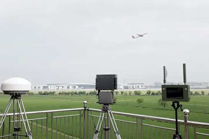
A fixed multi-sensor layout for approach sectors, boundary zones and operational areas, with permitted-flight review and command-room coordination.

A continuous monitoring layout for production areas, logistics routes and key perimeter sectors, connected to established site procedures.
Not usually. RF, radar, Remote ID and EO/IR answer different questions, so the site configuration should be based on the evidence and coverage the operator needs.
No. Terrain, buildings, weather, RF conditions, target characteristics and mounting create different blind zones and confidence limits.
No. After identification and confirmation, the platform maintains the target track, displays sensor and device status, coordinates the configured response sequence and preserves the complete event record.
Provide the protected area, approach directions, operating hours, permitted flights, power and network constraints, mounting options, operator roles and required handoff procedure.
Tell us the equipment, application or site you are reviewing. Our team can provide product information, technical documents, pricing and configuration support.
Tell us the equipment, application or site you are reviewing. Our team can provide product information, technical documents, pricing and configuration support.