Cannot See
Where is it flying? Who is operating it? Low-altitude targets are hard to perceive across complex sites.
- Urban blind zones
- Weak small-target signals
- Incomplete sensing coverage

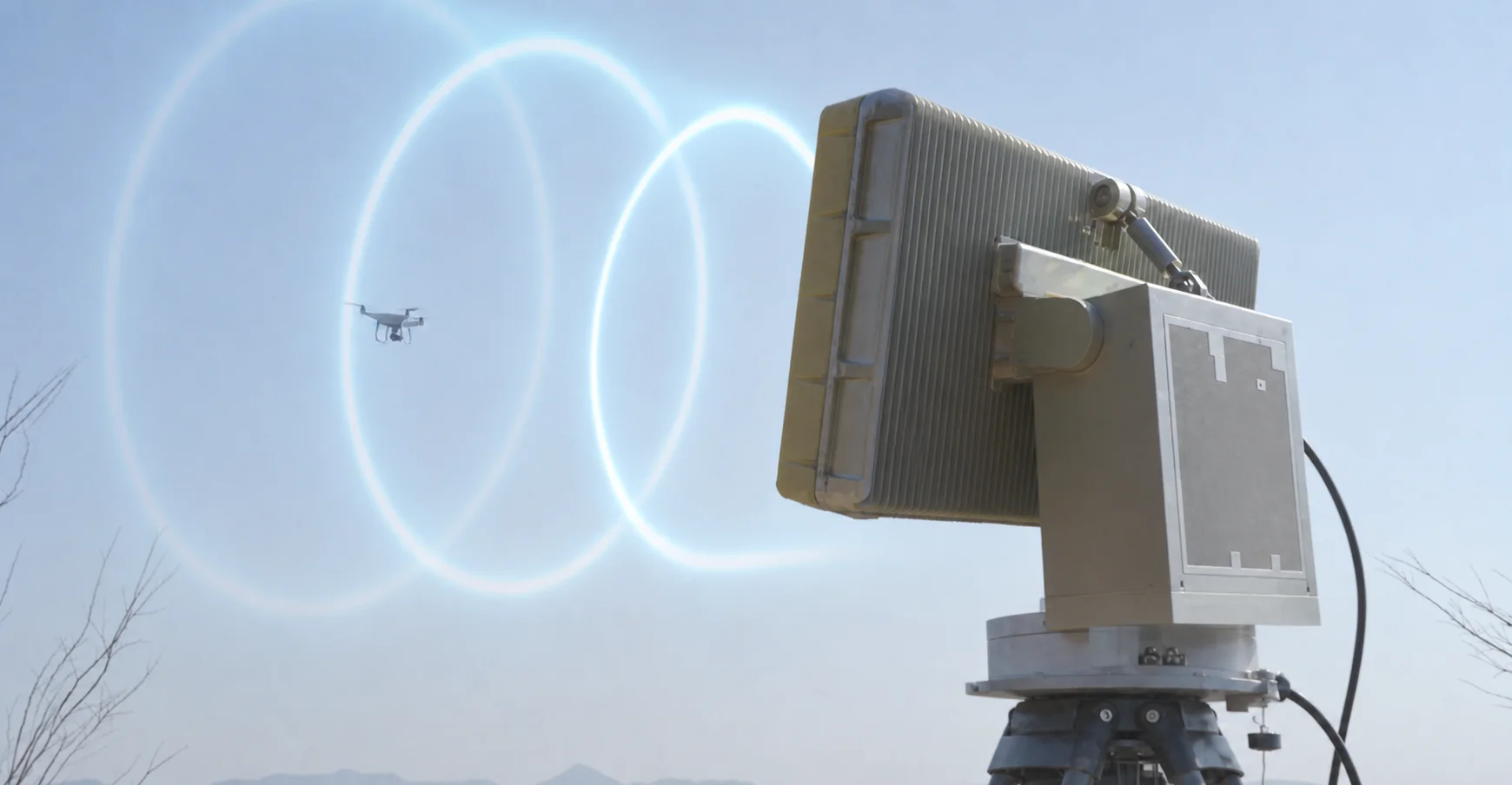
For airports, refineries, power plants, ports, venues, and large perimeters. N-TET helps turn real site conditions into a practical C-UAS and low-altitude security plan.
Fast-growing UAV activity and slower management tools create low-altitude blind zones. Site teams first need to see targets, identify events, and keep the handling process under control.
Where is it flying? Who is operating it? Low-altitude targets are hard to perceive across complex sites.
Authorized flights, unknown targets, and risky activity are difficult to separate in real time.
After detection, single-device handling and manual workflows are often not timely, precise, or traceable.
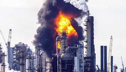
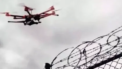
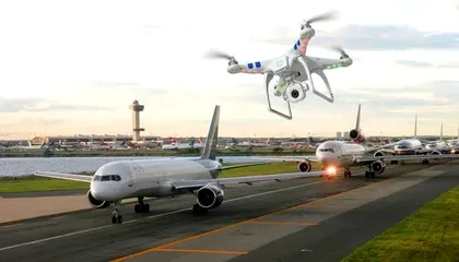
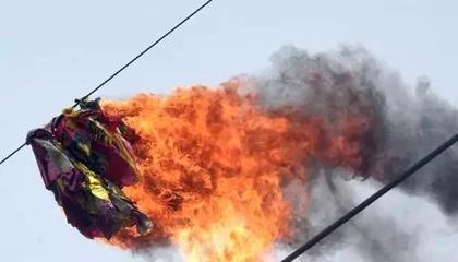
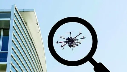
Build an end-to-end closed loop around multi-source sensing, intelligent judgement, and coordinated on-site handling.
Use multi-source sensing to make low-altitude activity visible across the protected site.
Combine tracks, features, identity clues, and risk levels so operators can judge the event with context.
Connect approved response options, field teams, and platform records into a coordinated handling loop.
Equipment is organized around the operating loop: sensing and detection first, verified handling second, integrated units third, and a command platform to close the loop.
Build the first layer with RF detection, low-altitude radar, EO tracking, and Remote ID recognition so different target types can be noticed and reviewed.
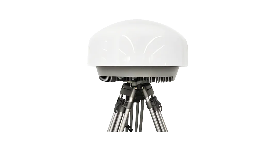
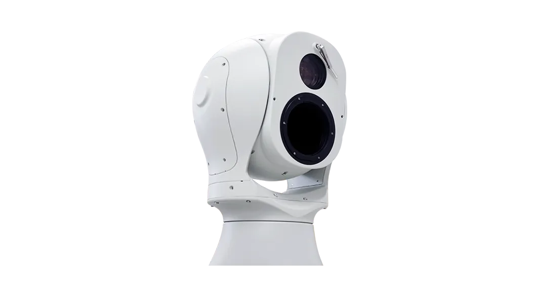
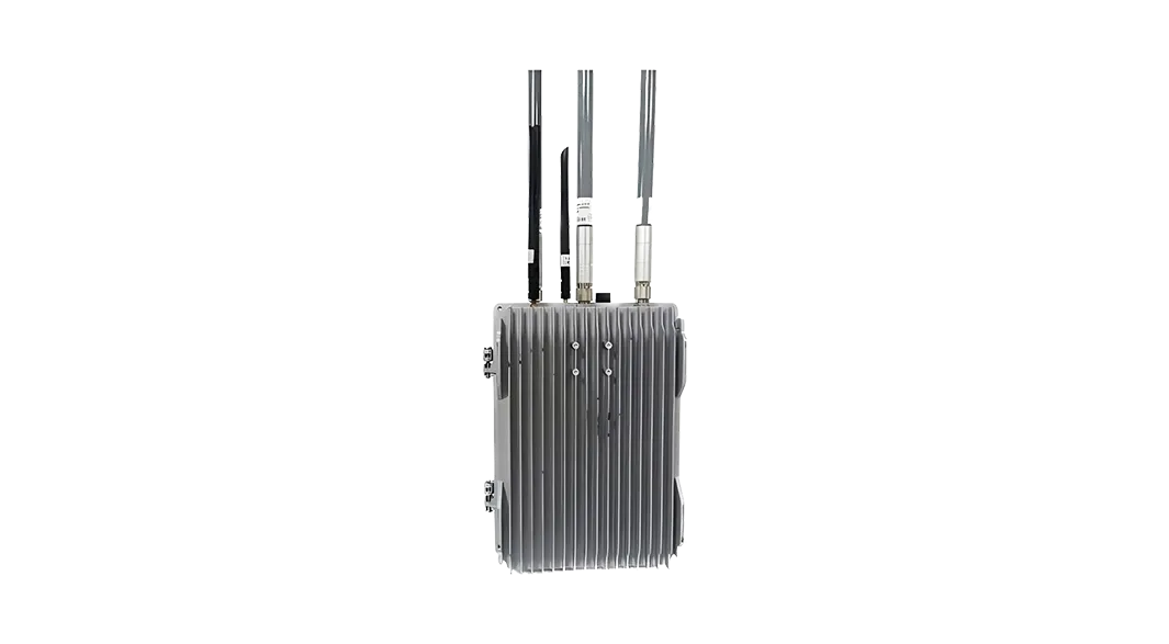
Use fixed, navigation-signal, and portable response equipment according to site rules, deployment time, and operator approval workflow.
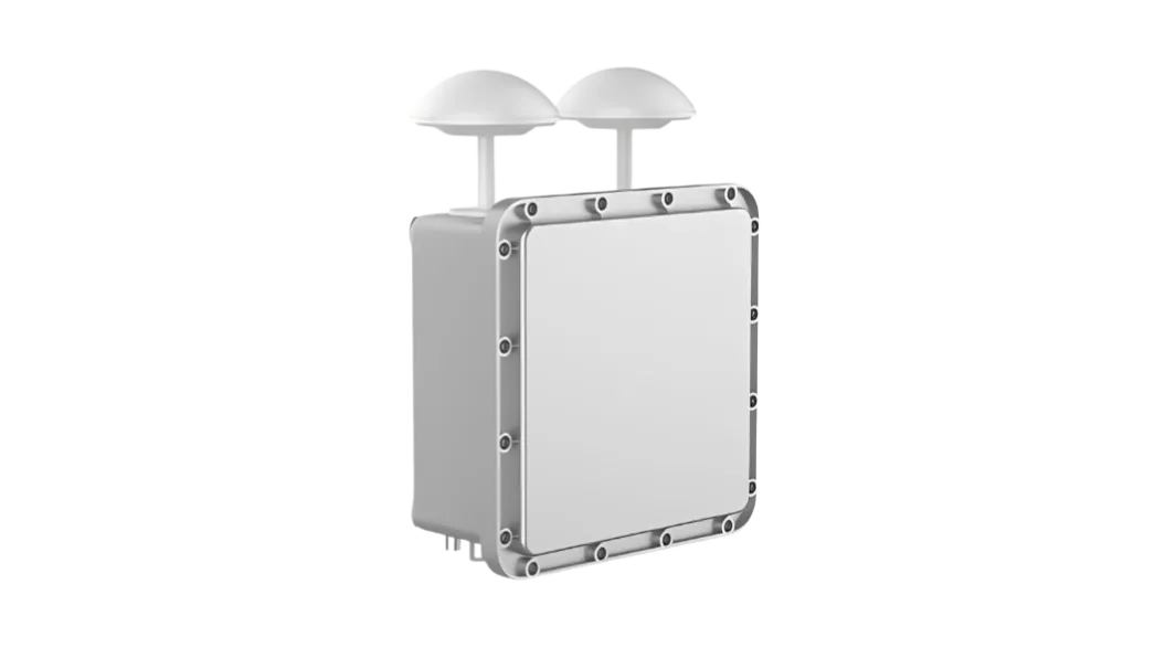
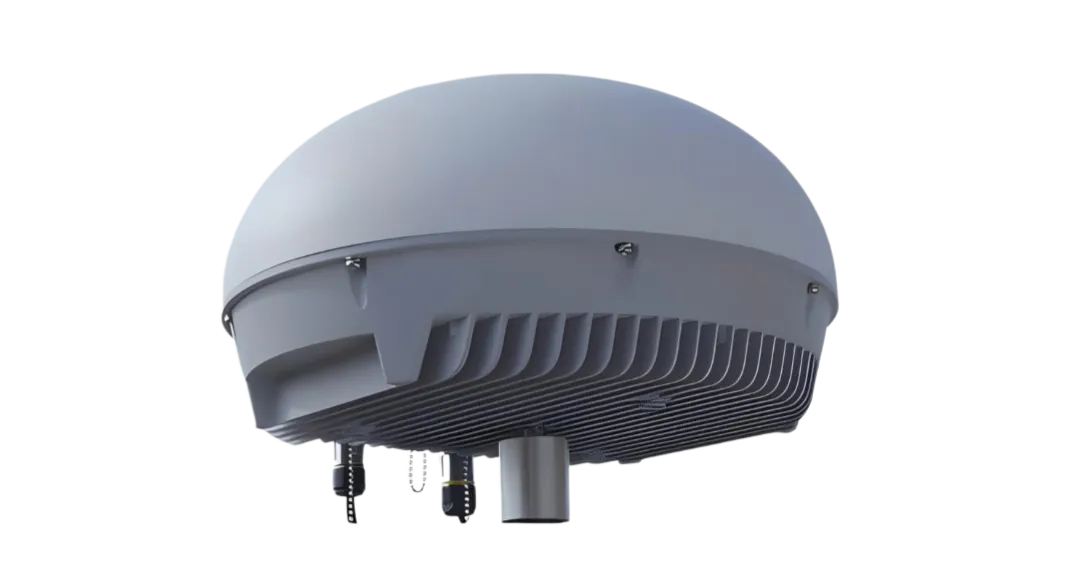
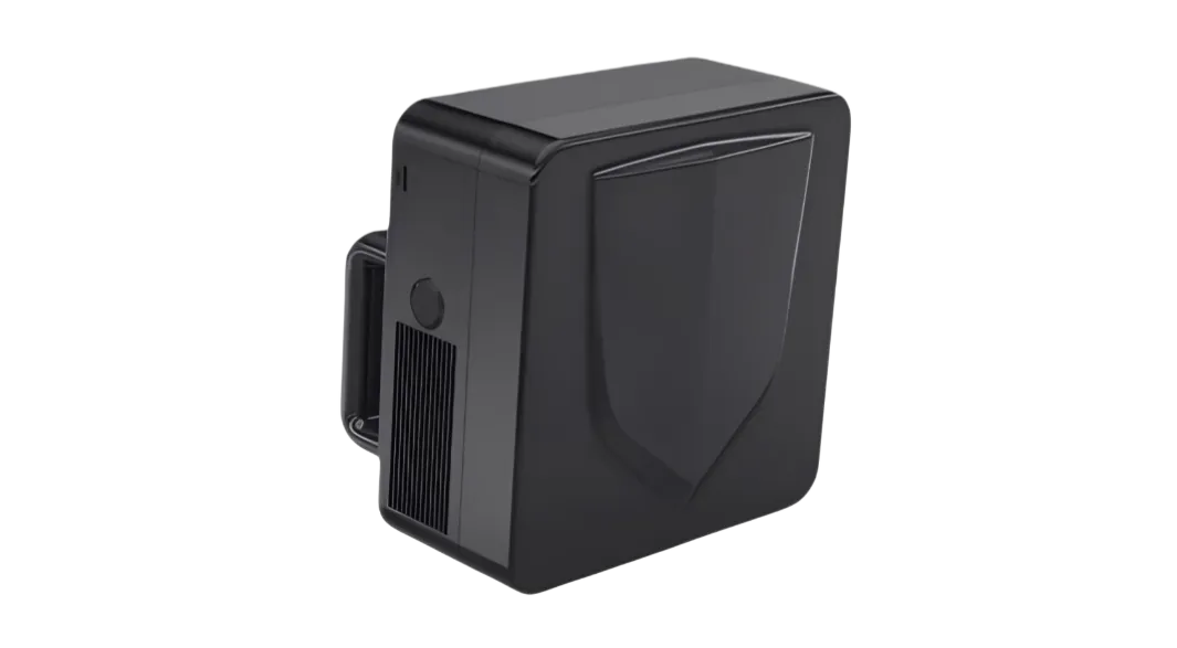
Use integrated portable, fixed-site, and vehicle-mobile units when the site needs sensing, operator confirmation, and approved response in one deployable system.
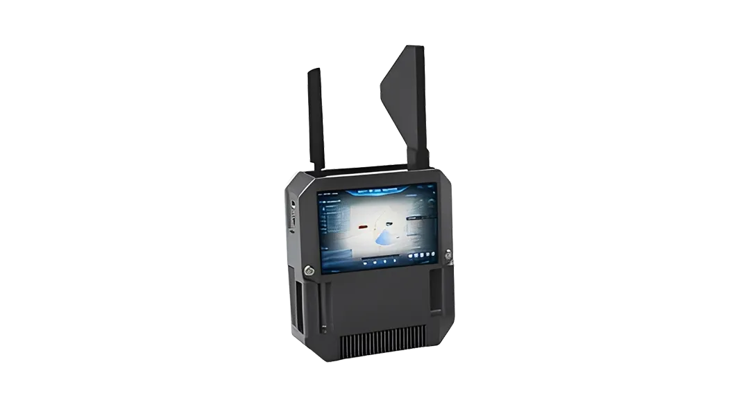
Single-operator sensing, positioning, tracking, and response support.
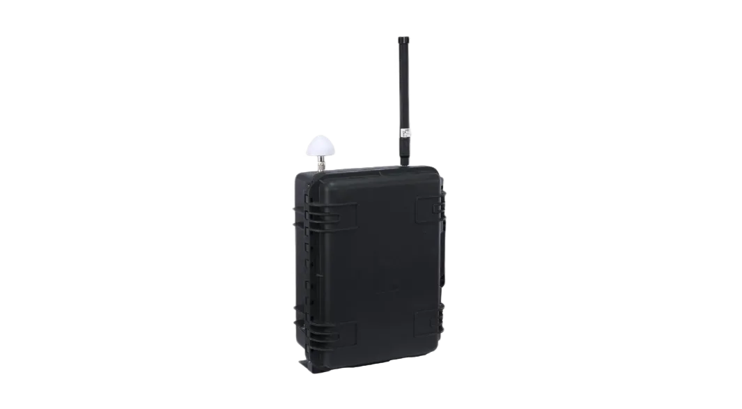
Hand-carried unit for visual operation and rapid approved response.
Integrated high-performance site equipment for key-area coverage.
Full-band sensing with low-disruption guidance workflows.
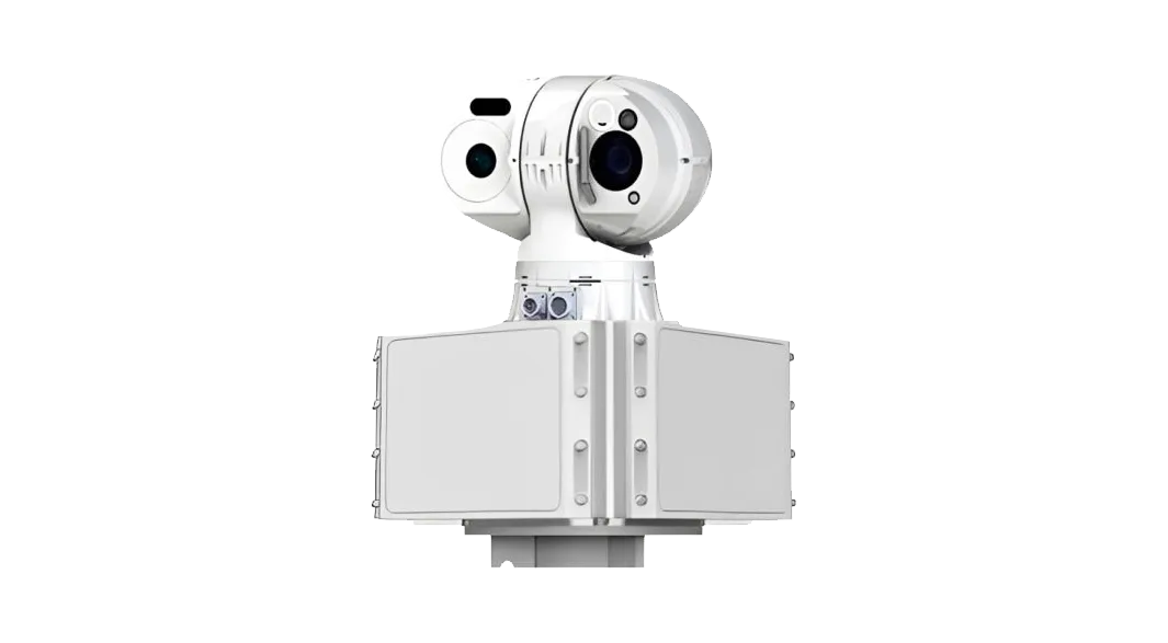
Radar and optical fusion for target search and visual confirmation.
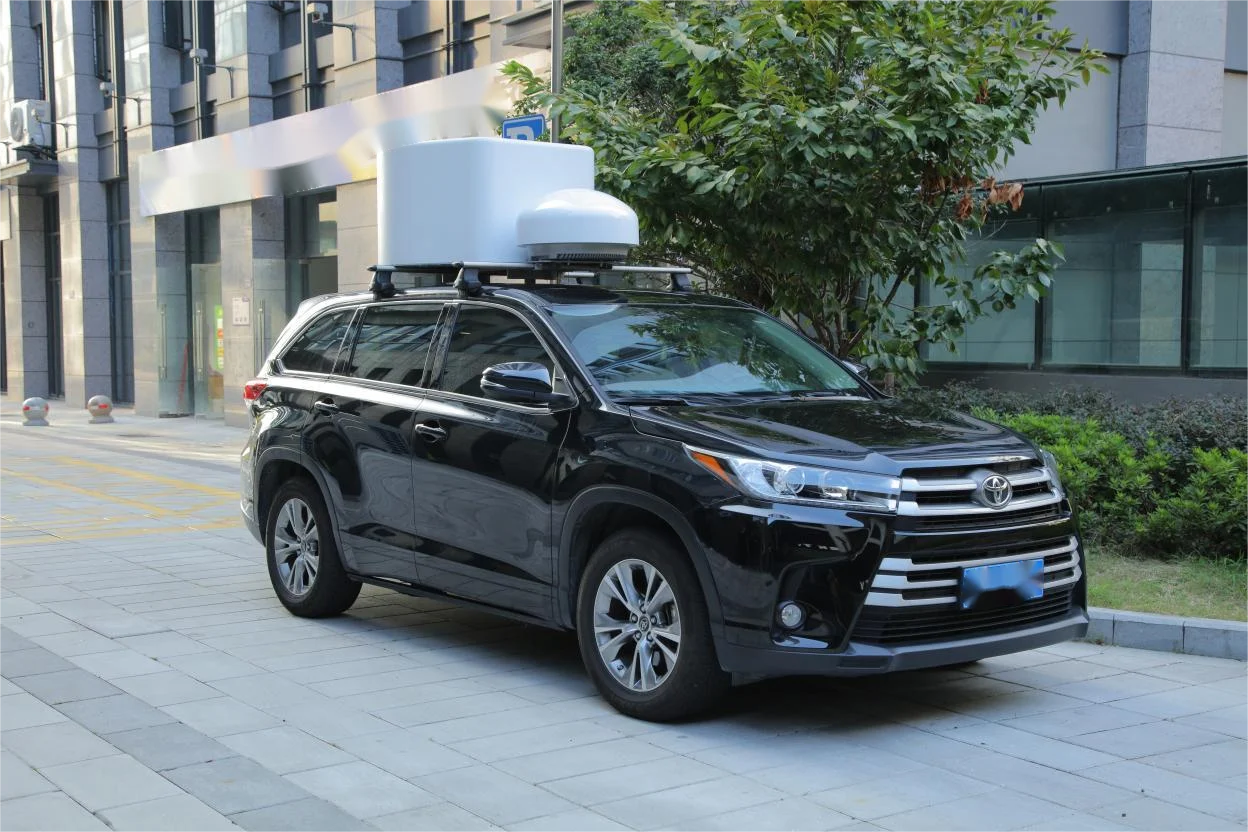
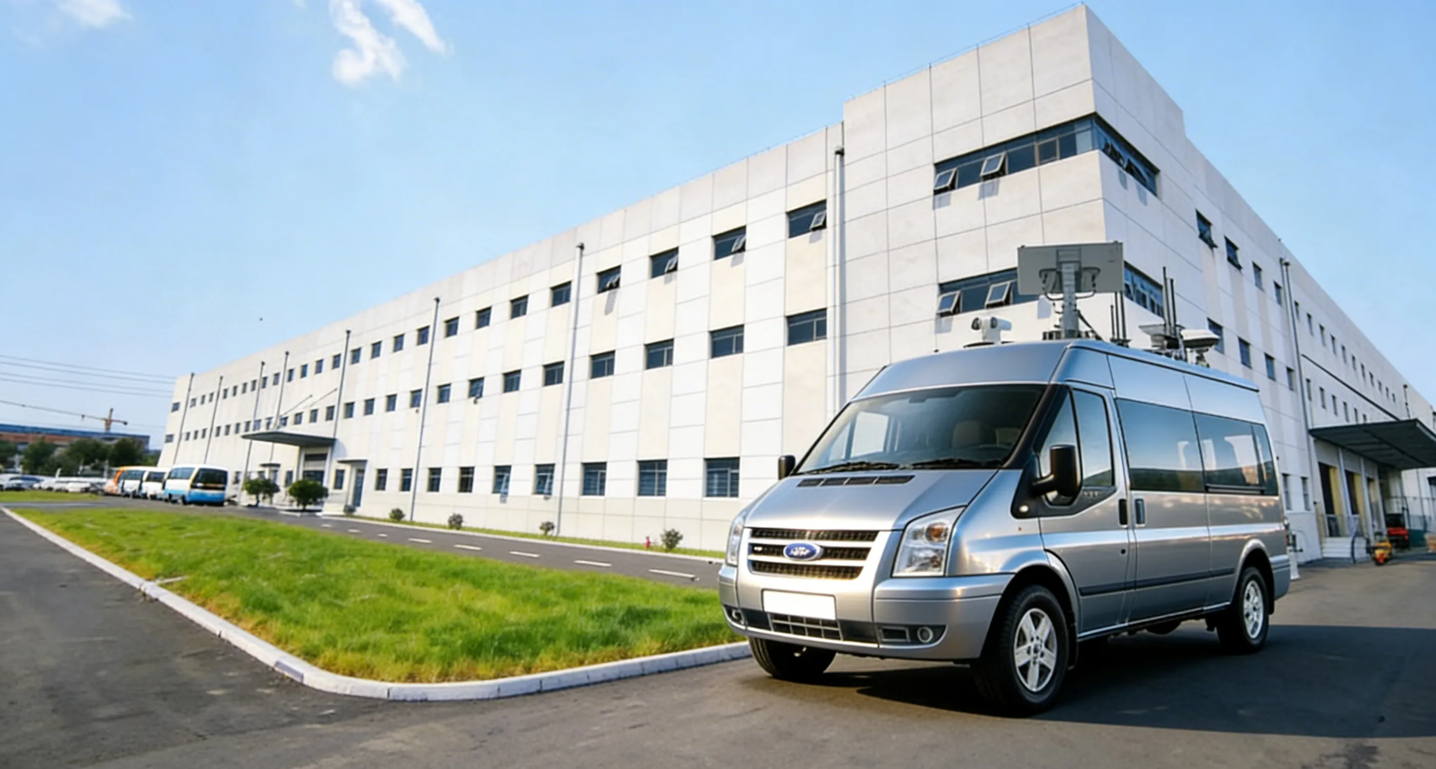
Vehicle-mounted sensing and response equipment for mobile patrol and temporary coverage.
Connect radar, RF, EO, Remote ID, operator review, response linkage, and event records on one platform.
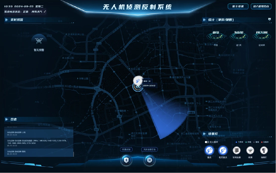
استخدم سيناريوهات المواقع هذه لمطابقة تغطية الاستشعار وسير المراجعة وخيارات الاستجابة المعتمدة لعمليات الأمن الحرجة منخفضة الارتفاع.

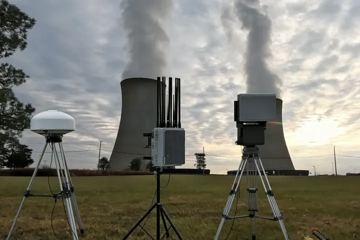
مواقع التغطية: محطات الطاقة النووية، المحطات الفرعية، مواقع تخزين الطاقة، خطوط النفط والغاز، المجمعات الكيميائية
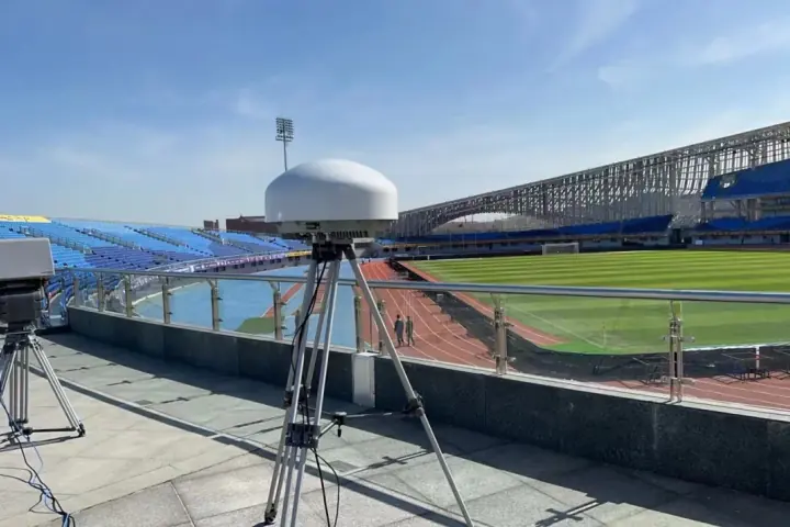
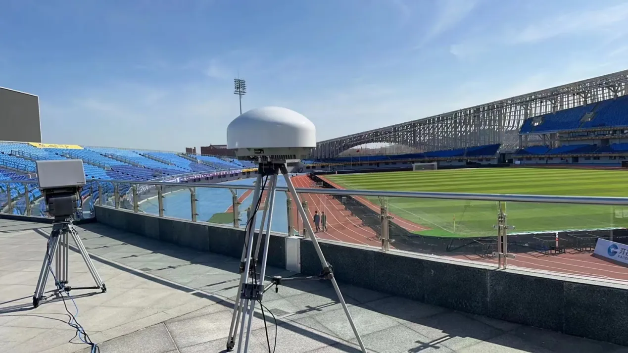
مواقع التغطية: ألعاب متعددة المدن، الملاعب، المراكز الإعلامية، مراكز النقل، والفعاليات العامة الكبرى
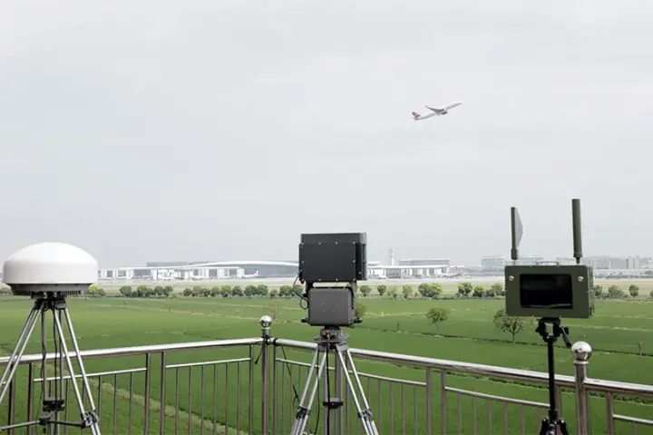
تطبيق قابل للتكرار: أمن المجال الجوي الروتيني للمطارات عبر مواقع مطارات متعددة