N-TET
Plan de seguridad C-UAS del sitio

Espacio aéreo de baja altitudSeguridad para sitios críticos

For airports, refineries, power plants, ports, venues, and large perimeters. N-TET helps turn real site conditions into a practical C-UAS and low-altitude security plan.

Core challenge

Cannot See, Cannot Identify, Cannot Control

Fast-growing UAV activity and slower management tools create low-altitude blind zones. Site teams first need to see targets, identify events, and keep the handling process under control.

Cannot See

Where is it flying? Who is operating it? Low-altitude targets are hard to perceive across complex sites.

  • Urban blind zones
  • Weak small-target signals
  • Incomplete sensing coverage

Cannot Identify

Authorized flights, unknown targets, and risky activity are difficult to separate in real time.

  • Unclear identity
  • Visual background confusion
  • Weather and signal complexity

Cannot Control

After detection, single-device handling and manual workflows are often not timely, precise, or traceable.

  • Slow response chain
  • Multi-team coordination
  • Traceable records needed
Airports, route operations, key-site security, major events, and urban low-altitude management all need a system-level low-altitude security solution.
Evento nocturno en sitio público
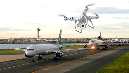
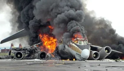
Interrupción de operaciones aéreas
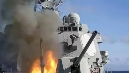
Exposición de operación marítima crítica
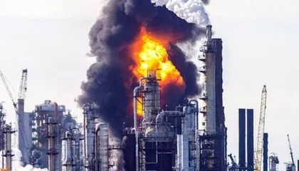
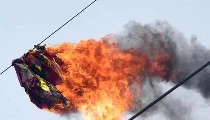
Exposición de instalación energética
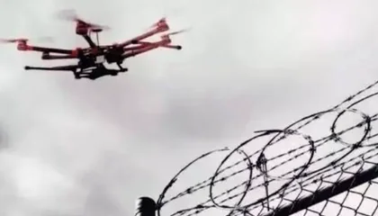
Sobrevuelo del perímetro
Intrusión en espacio aéreo restringido
Incidente en corredor de servicios
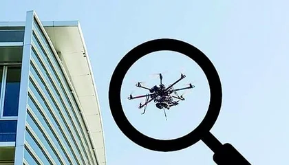
Avistamiento de drone junto a edificio público
N-TET solution approach

See Clearly, Identify Clearly, Control Reliably

Build an end-to-end closed loop around multi-source sensing, intelligent judgement, and coordinated on-site handling.

01
Multi-source sensing

See Clearly

Use multi-source sensing to make low-altitude activity visible across the protected site.

  • Wireless RF detection
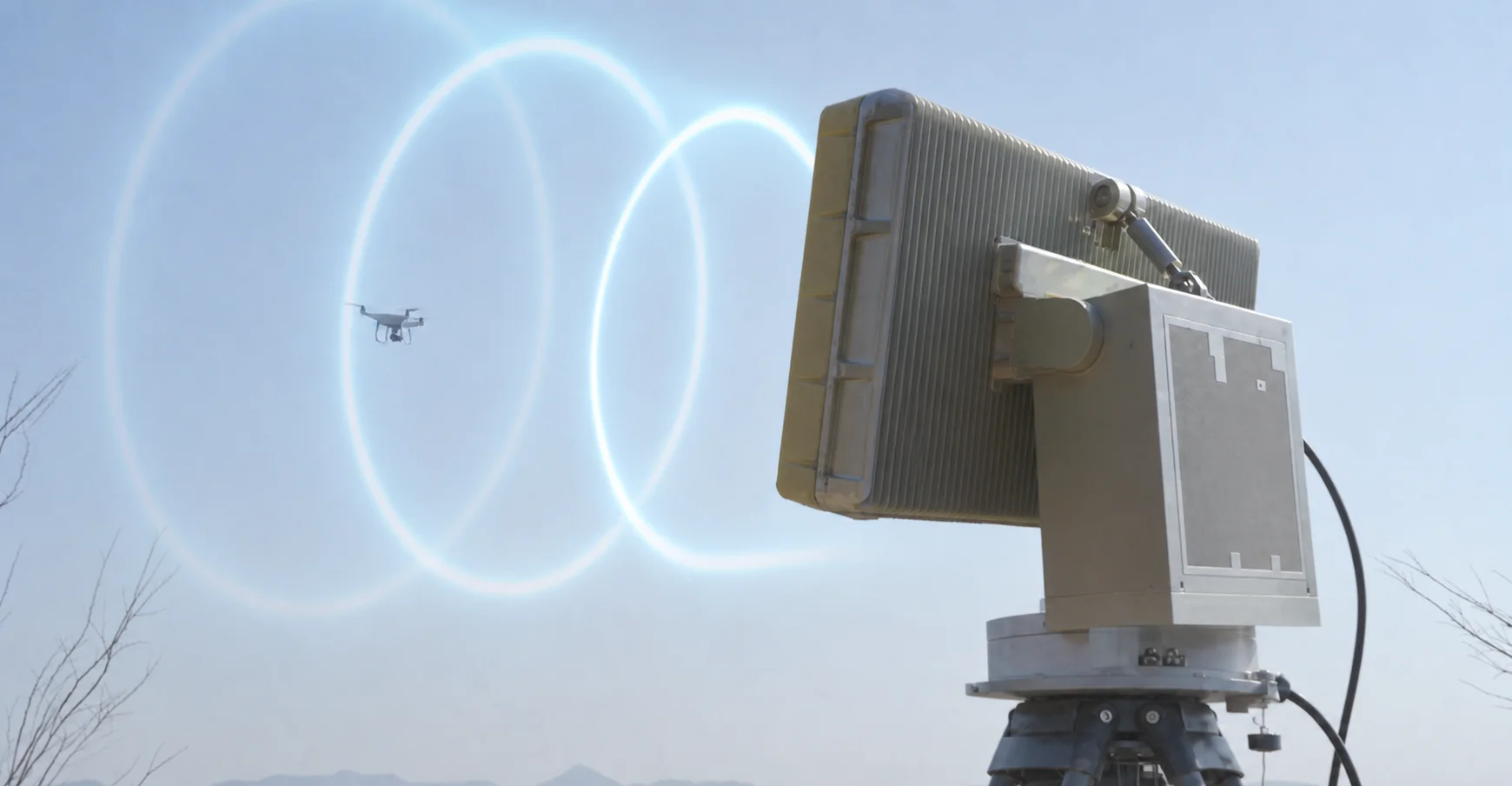
  • Low-altitude radar
  • EO identification
  • Remote ID
02
Intelligent judgement

Identify Clearly

Combine tracks, features, identity clues, and risk levels so operators can judge the event with context.

  • Identification and tracking algorithms
  • Feature and type analysis
  • Target identity verification
  • Threat-level assessment
03
Precise approved response

Control Reliably

Connect approved response options, field teams, and platform records into a coordinated handling loop.

  • RF signal control
  • Navigation-signal guidance
  • Physical capture option
  • Directed-energy option
Multi-source fusion, heterogeneous networking, system-level coordination, and a visual command platform support efficient human-machine collaboration.
Equipment capability

Equipment Is Organized Around the Operating Loop

Equipment is organized around the operating loop: sensing and detection first, verified handling second, integrated units third, and a command platform to close the loop.

A

Sensing & Detection

Multi-source fusion for all-site awareness

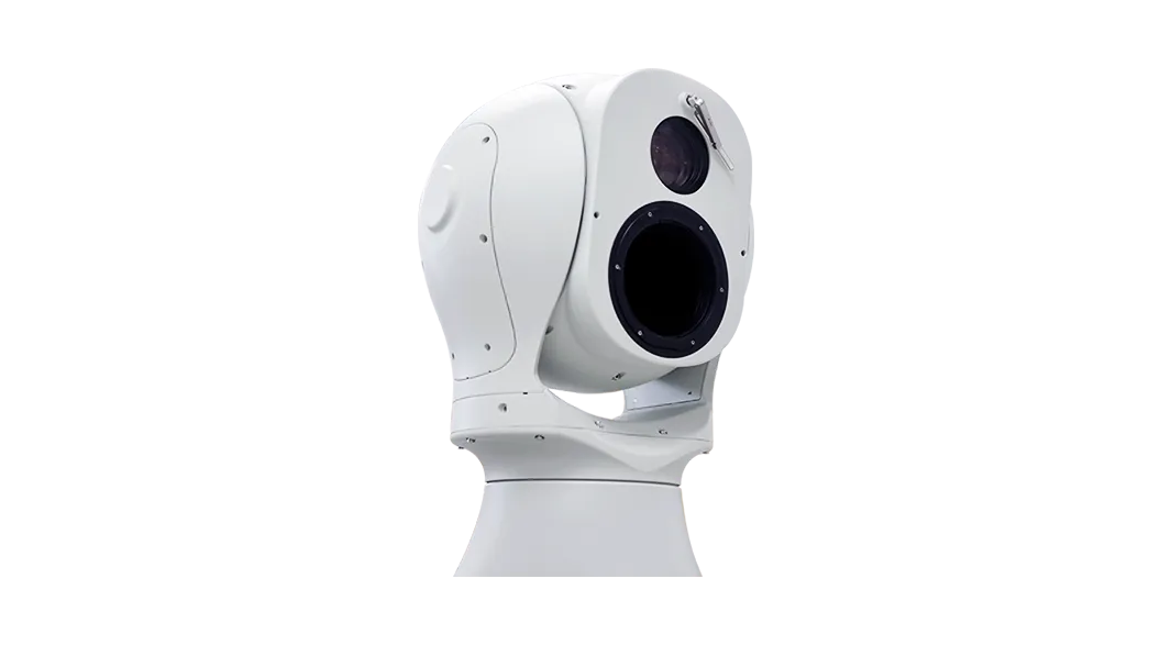
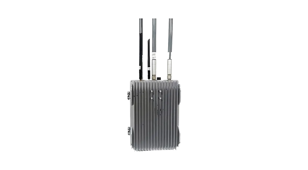
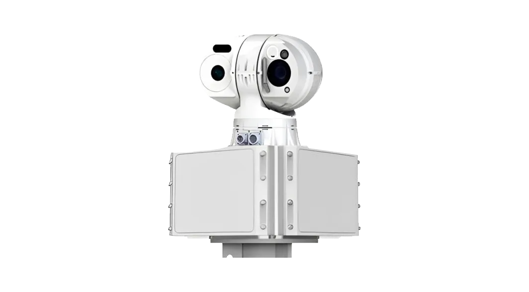
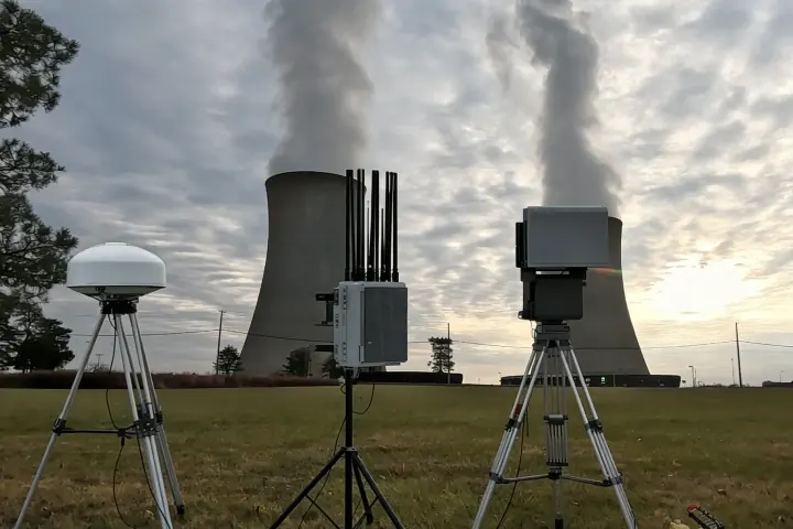
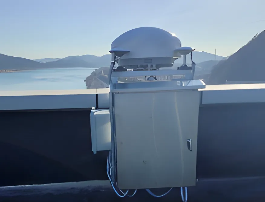
Build the first layer with RF detection, low-altitude radar, EO tracking, and Remote ID recognition so different target types can be noticed and reviewed.
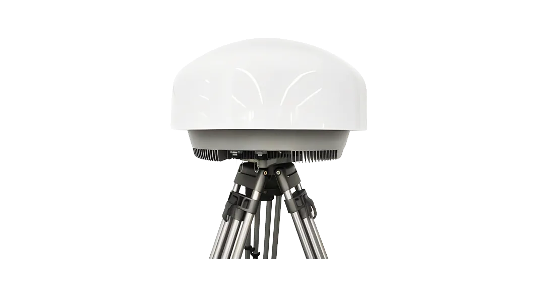
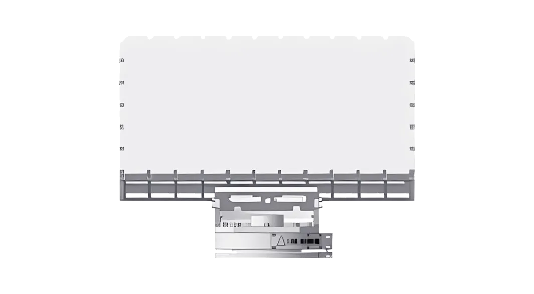
Pursue single-device sensing performance while emphasizing multi-technology coordination.RF detection, radar, EO, protocol parsing, and Remote ID can be selected according to the site scenario, then fused to strengthen low-altitude awareness.
B

Response & Control

Soft response equipment for full-site handling

Use fixed, navigation-signal, and portable response equipment according to site rules, deployment time, and operator approval workflow.
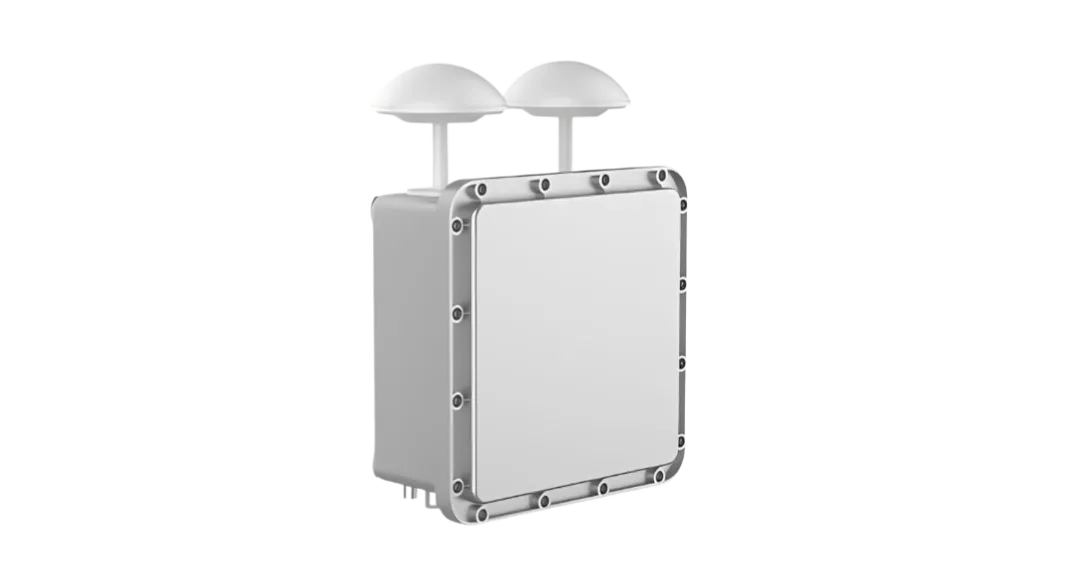
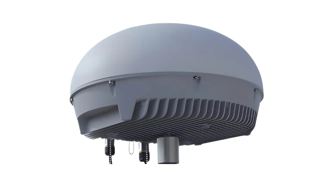
Soft Response (Electromagnetic Means)
Soft response first; hard response only as fallback.Typical sites prioritize electromagnetic response methods because they are easier to approve, lower-disruption, and lower-collateral when used under local authorization.
C

Detection-and-Response Integrated Units

Detection, identification, and response in one unit

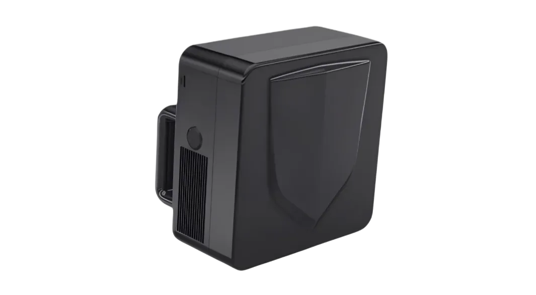
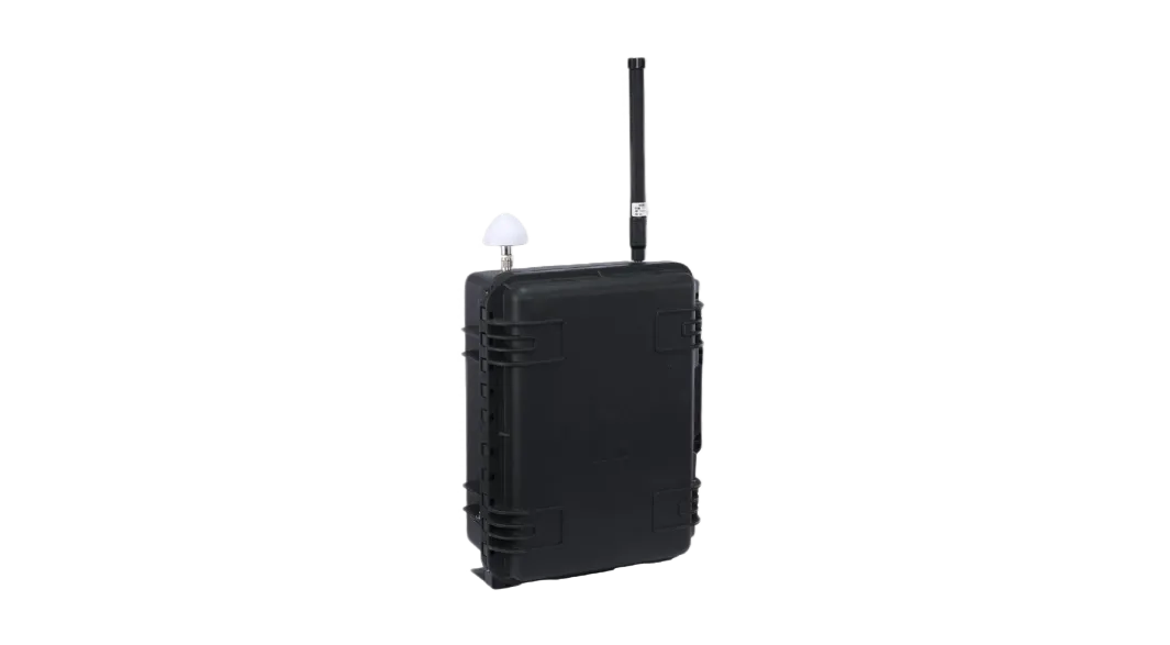
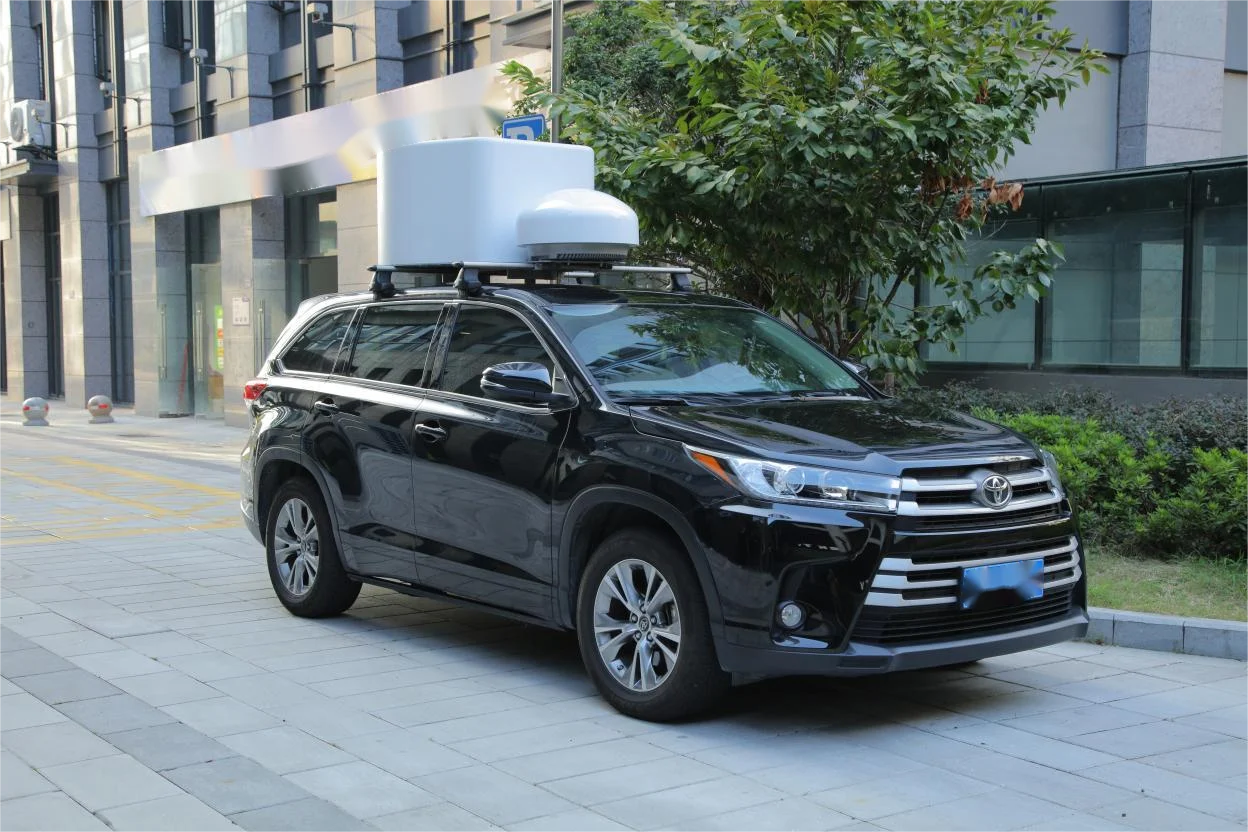
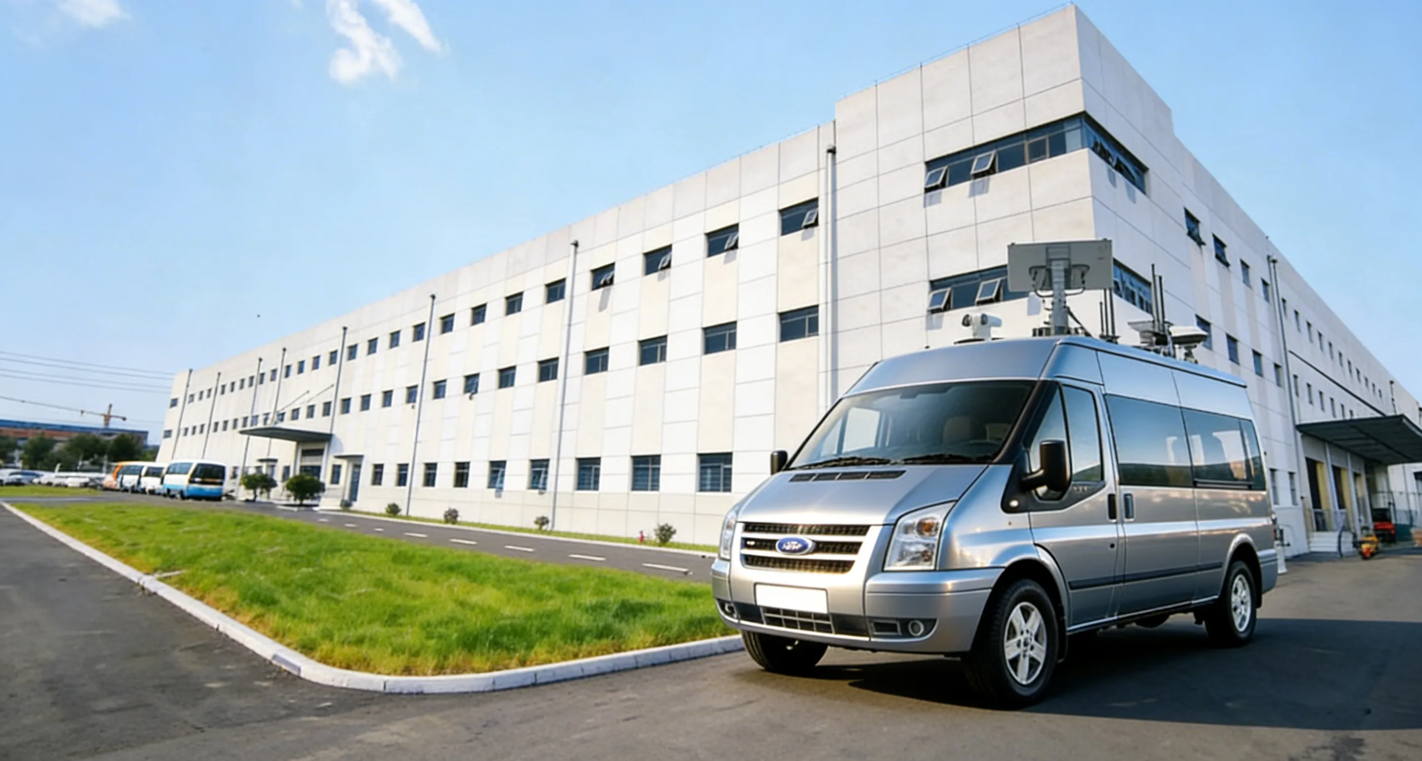
Use integrated portable, fixed-site, and vehicle-mobile units when the site needs sensing, operator confirmation, and approved response in one deployable system.
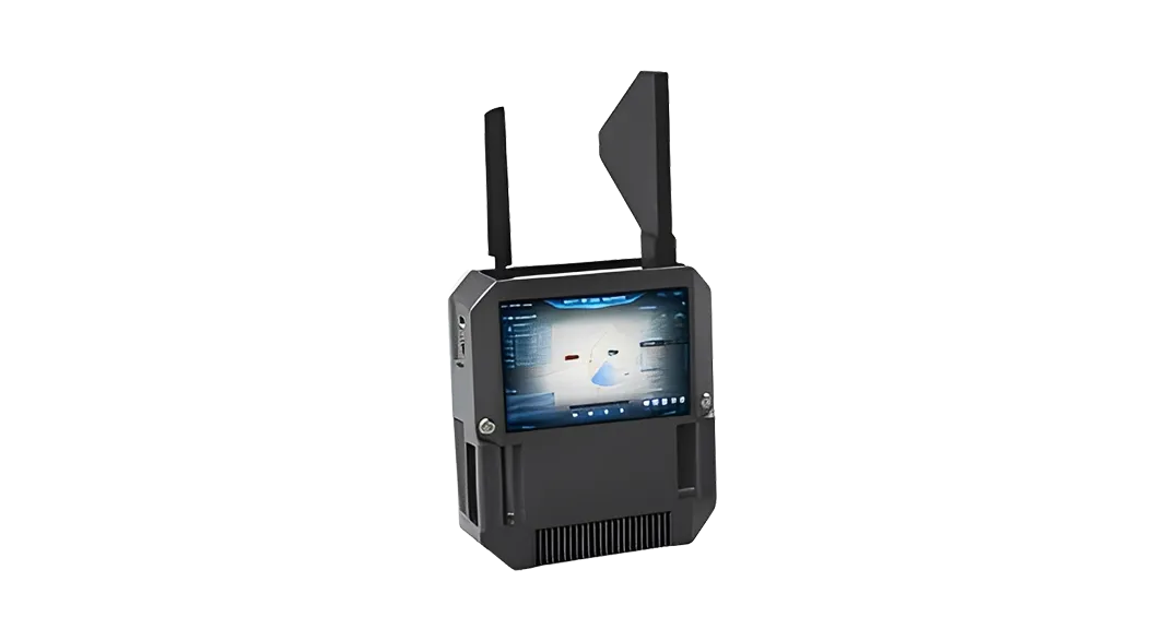
Detection, identification, and response are designed as one integrated workflow.From single-operator field kits to fixed-site systems and mobile vehicle deployments, equipment can be selected by scenario and deployed as a compact operating system.
D

Plataforma de gestión de baja altitud

Unified command, map, alert, and records

Connect radar, RF, EO, Remote ID, operator review, response linkage, and event records on one platform.
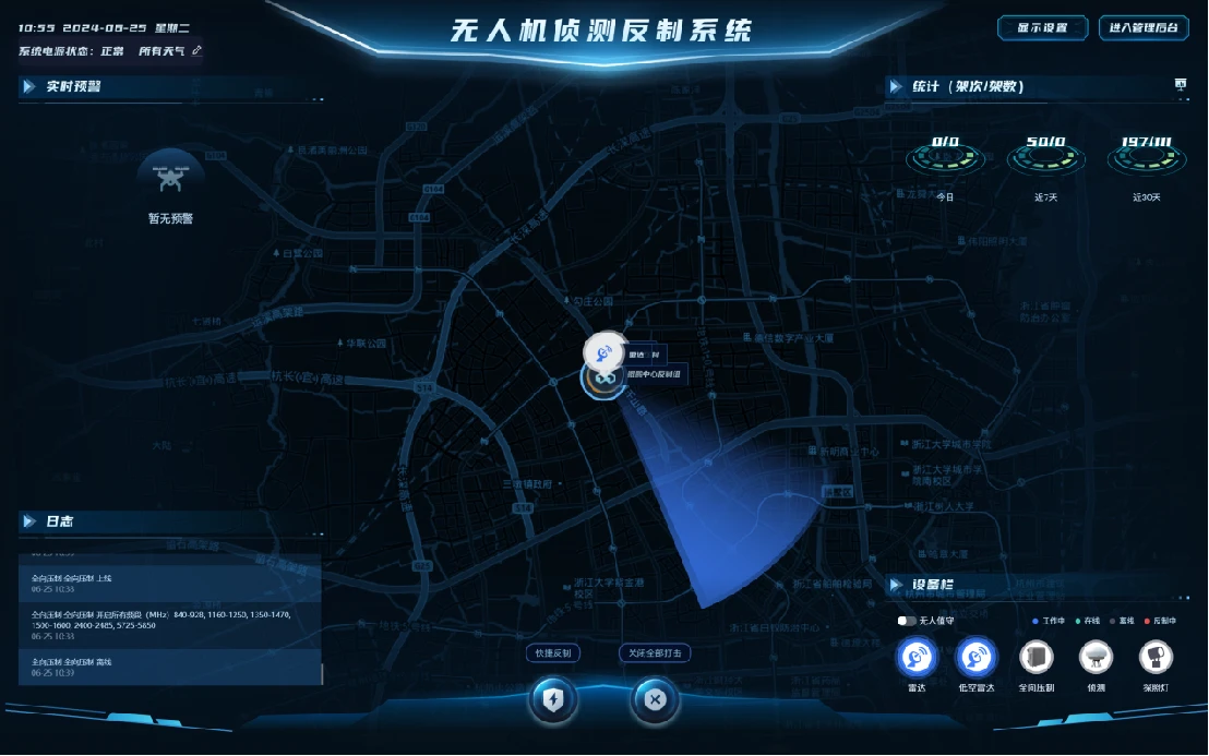
  • Estación fija de mando
  • Acceso móvil del operador
  • Gestión de mapas, alertas y registros
Low-altitude management platform interface

Escenarios C-UAS por tipo de sitio

Use estos escenarios de sitio para ajustar la cobertura de detección, el flujo de revisión y las opciones de respuesta aprobadas para operaciones críticas de seguridad de baja altitud.

Sitios industriales y energéticos

Sitios cubiertos: centrales nucleares, subestaciones, sitios de almacenamiento de energía, oleoductos y gasoductos, parques químicos
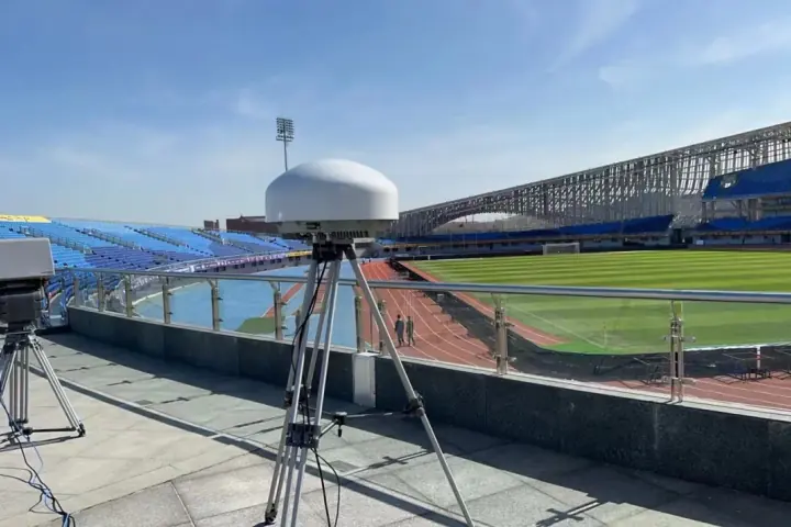
  • Detección de baja altitud en área amplia
  • Alerta temprana y revisión del nivel de amenaza
  • Coordinación de respuesta autorizada
  • Vigilancia automatizada del sitio 24/7
Comentar configuración del sitio

Public Venue & Event Site

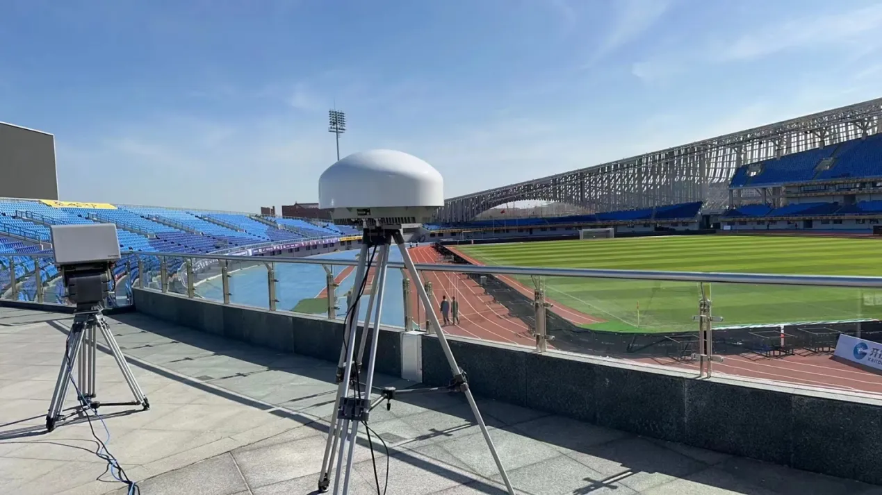
Sitios cubiertos: juegos multiciudad, estadios, centros de medios, nodos de transporte y grandes eventos públicos
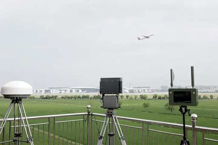
  • Cobertura coordinada en varias ciudades
  • Protección para eventos de varios tipos
  • Despliegue flexible fijo, portátil y móvil en vehículo
  • Reutilización posterior al evento para actividades importantes recurrentes
Comentar configuración del sitio

Seguridad del espacio aéreo aeroportuario

Despliegue replicado: seguridad rutinaria del espacio aéreo aeroportuario para varios sitios aeroportuarios
  • Monitoreo Remote ID y revisión de lista blanca
  • Matriz de detección RF de 20 MHz-6 GHz
  • Plataforma de fusión de datos de radar, RF y EO
  • Respuesta fija y portátil con diseño EMC para aeropuerto
Comentar configuración del sitio

Referencias de proyectos

WhatsApp