
How Weather, Terrain, and Urban Clutter Affect Drone Detection
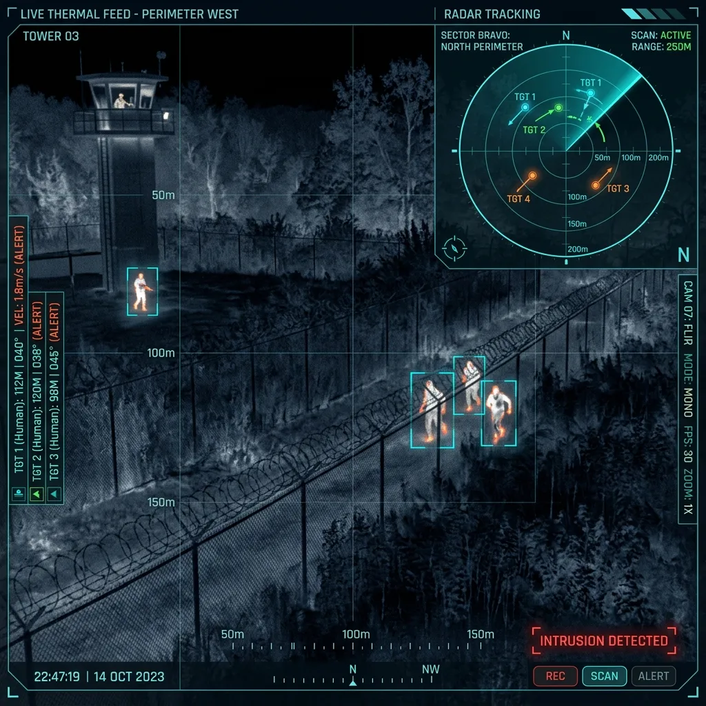
Weather, terrain, and urban clutter affect drone detection because every sensor depends on energy reaching the target or receiver through a real environment. RF sensing depends on available radio activity and local signal conditions. Radar must separate a small moving target from terrain, buildings, vegetation, birds, vehicles, rain, and other returns. EO/IR systems need line of sight, suitable lighting or thermal contrast, stable pointing, and enough target presentation for an operator to confirm what is visible. Remote ID receivers depend on compatible broadcasts and usable reception. These effects are not edge cases to be added after procurement. They shape sensor placement, expected coverage, alert rules, maintenance, and operator workload from the beginning. A credible design states the conditions behind a performance assumption and identifies what must be tested at the site.
How does weather change the picture?
Rain, fog, haze, snow, heat shimmer, low cloud, glare, and rapid light changes can reduce optical contrast or make long-distance confirmation harder. Thermal imaging can help in some low-light conditions, but temperature, background, moisture, glass, and weather still affect what the image shows. Wind may not stop a fixed sensor, yet it can move vegetation, vibrate a mount, change small-target behavior, and increase the number of cues an operator must review.
Weather-resistant enclosures protect equipment within stated limits; they do not make sensor performance independent of weather. The design should separate equipment survivability from detection and confirmation quality.
What does terrain hide?
Hills, cuttings, embankments, tree lines, large roofs, tanks, stacks, cranes, and perimeter walls can create low-altitude shadows. A sensor mounted high may improve one horizon while creating maintenance, vibration, cable, lightning, or close-in blind-zone questions. A ground-level photograph rarely shows the same horizon that the installed sensor will have.
For a complex site, coverage should be reviewed by sector. Approach directions, target altitude, local obstructions, and protected assets matter more than a single circle drawn around a sensor icon.
Why is an urban or industrial site difficult?
Buildings create reflections and block line of sight. Machinery, vehicle movement, rotating equipment, birds, temporary cranes, maintenance activity, wireless networks, and nearby transmitters can all create legitimate signals or movement. The system needs rules for separating normal site behavior from events that require review.
- Build a baseline of normal RF activity at different times.
- Record common radar and optical cues such as birds, vehicles, fans, cranes, flags, steam, and reflective surfaces.
- Maintain a permitted-flight list and contractor schedule.
- Review construction, vegetation, seasonal weather, and new transmitters after commissioning.
- Keep sensor alerts and operator confirmation as separate record fields.
What should buyers ask for?
Ask which environmental assumptions support the published distance, how the proposed position was selected, what blind zones remain, how false cues will be classified, and which changes require retuning. A useful proposal should include a site survey, sensor-role explanation, mounting assumptions, test plan, and an agreed review period. N-TET's article on reducing false alerts with radar, RF, and EO/IR explains how the operating workflow continues after the initial layout.